Catalog Archive
Auction 139, Lot 256
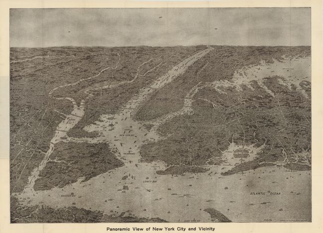
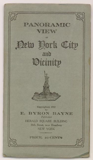
"Panoramic View of New York City and Vicinity",
1 of 2
Subject: New York City, New York
Period: 1912 (dated)
Publication:
Color: Black & White
Size:
27.8 x 20 inches
70.6 x 50.8 cm
Download High Resolution Image
(or just click on image to launch the Zoom viewer)
(or just click on image to launch the Zoom viewer)