Catalog Archive
Auction 139, Lot 144

"Carte Generale des Etats Unis de l'Amerique Septentrionale, renfermant aussi quelques Provinces Angloises adjacentes", Tardieu, Pierre Francois

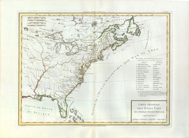
Subject: Eastern United States

Period: 1797 (circa)

Publication: Mentelle's Atlas Universel

Color: Hand Color

Size:
17 x 12.8 inches
43.2 x 32.5 cm
Download High Resolution Image
(or just click on image to launch the Zoom viewer)

Nice early map of the United States with fourteen states and their capitals named, and extending south to include the Isles Lucayes (Bahamas). The country's western boundary is shown on the Mississippi River, although the states' western boundaries are not all depicted. A few forts are located in the western regions, but most detail is confined along the coast. Engraved by Andre.

References: McCorkle #797.6.

Condition: A

Printed on sturdy, watermarked paper with faint toning along centerfold.

Estimate: $400 - $500

Sold for: $300

Closed on 2/15/2012

Archived