Catalog Archive
Auction 139, Lot 140

"[Double-sided wall map] Eastern Part of the United States of America Including All Its Newly Acquired Territories [and] Western Part…", Scarborough Company, The

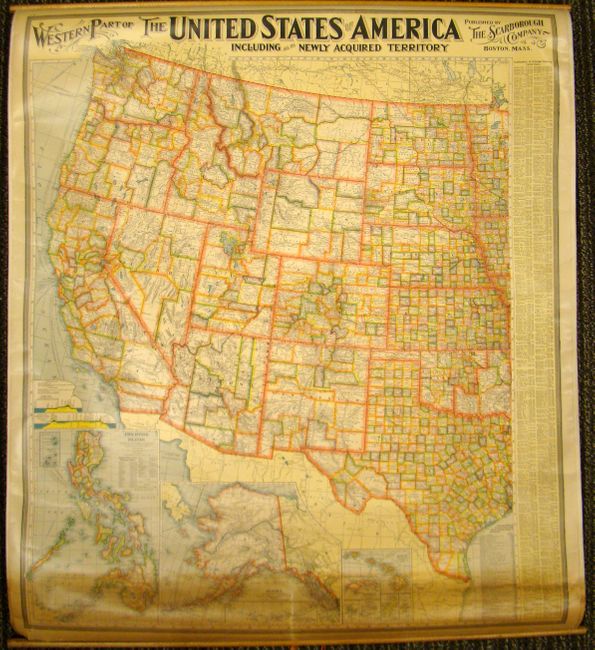
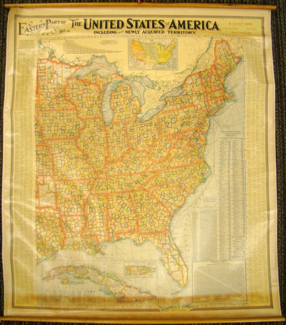
Subject: United States

Period: 1900 (circa)

Publication:

Color: Printed Color

Size:
34 x 39.5 inches
86.4 x 100.3 cm
Download High Resolution Image
(or just click on image to launch the Zoom viewer)

This uncommon pair of back-to-back wall map covers the Eastern and Western United States. There is incredible detail throughout showing roads, towns and villages, railroads, watershed and topography. Each county in every state is individually colored. Both feature fancy Victorian titling, a decorative keyboard-style border and are beautifully engraved. The Western sheet has large insets along bottom including a great map of Alaska. The Eastern sheet has a large inset of Cuba and a thematic graph showing the population growth since 1790. There is an advertising pastedown of a San Francisco dealer covering the publisher's name on the Eastern side of the map. Map rolls into top or bottom rod and can be hung on either side.

References:

Condition: B+

Very good condition for this type of map. There is some toning at one end and a 2-inch tear near a roller, but it is confined to the blank margin.

Estimate: $160 - $200

Sold for: $120

Closed on 2/15/2012

Archived