Catalog Archive
Auction 138, Lot 900

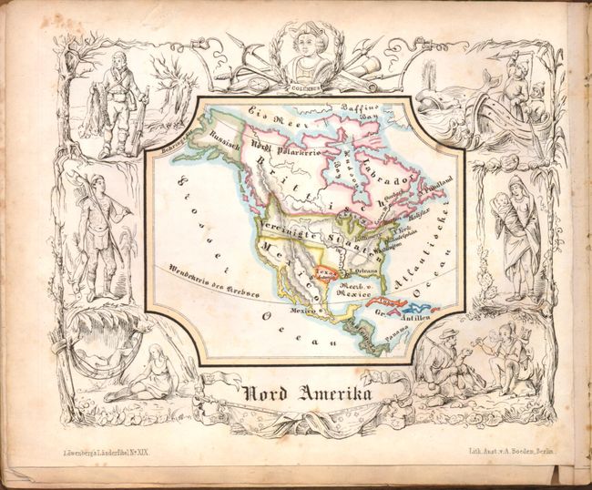
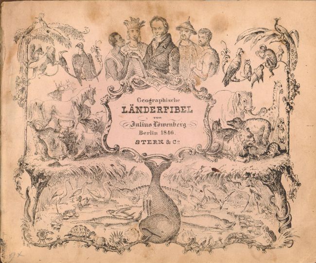
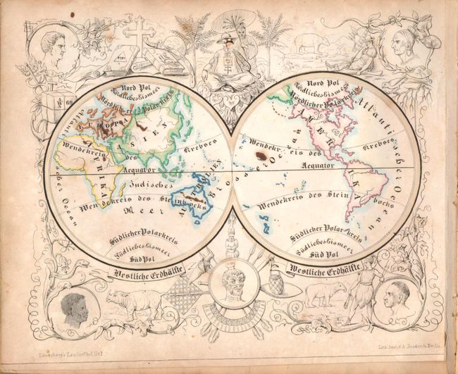
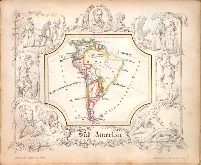
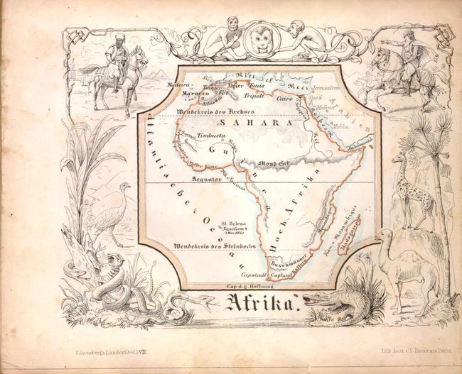
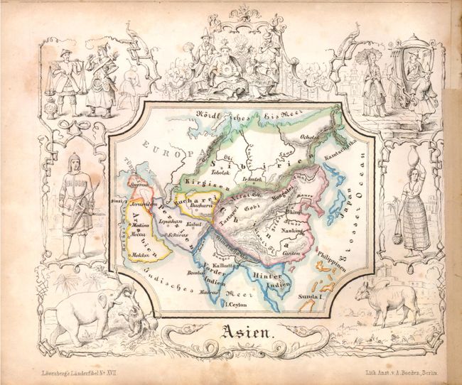
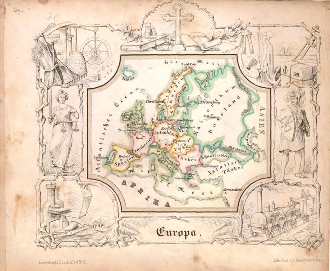
Charming Children's Atlas with the Republic of Texas

"Geographische Lander-fibel",

Subject: Children's Atlas

Period: 1846 (published)

Publication:

Color: Hand Color

Size:
7.3 x 6 inches
18.5 x 15.2 cm
Download High Resolution Image
(or just click on image to launch the Zoom viewer)

The United States and Great Britain established in 1818 joint claim over the Oregon Territory - the region north of Spanish controlled Upper California up to the southern boundary of Russia's Alaska Territory at North latitude 54°40'. By the late 1830's this arrangement was beginning to fall apart. In the 1840's the expansionist Democrats, including their 1844 presidential candidate, James Polk, claimed the entire region for the United States. Their expansionist desires were expressed by Polk's famous campaign slogan, "Fifty-four Forty or Fight!" The slogan also became a rally cry for Americans desiring to settle the territory. Following Polk's election, the dispute was resolved by the 1846 Treaty of Oregon, which struck a compromise that fixed the U.S./Canadian boundary at 49º North.

This charming little children's atlas by Julius Loewenberg, a German geographer and author, contains 21 maps of the world, continents and European countries. Each map is framed by vignettes of the people, fauna, customs, and historical events of the region, and is accompanied by several pages of rhyming verses describing the region and its history. The map of North America depicts Texas as a Republic and Mexico encompassing the entire southwest. In the United States, the cities of Boson, New York, Philadelphia, Baltimore, and New Orleans are marked, and the northwest still reflects the Oregon Boundary Dispute. All of southern Central America is labeled Guatemala. The frontispiece includes representations of people from the five continents and is filled with animals from all around the world. Published by Stern & Co. Hardbound in marbled-vellum boards, with 53 pp.

References:

Condition: B

Maps are in original color with scattered foxing, light toning, and a few old ink spots. Maps range in condition from very good to satisfactory. Text is toned with some foxing, occasional pen or ink marks, and tears on a couple of pages. Covers are worn with some stains, spine is missing, and binding is loose.

Estimate: $550 - $700

Sold for: $450

Closed on 12/7/2011

Archived