Catalog Archive
Auction 138, Lot 802
"Madagascar", Stanford, Edward
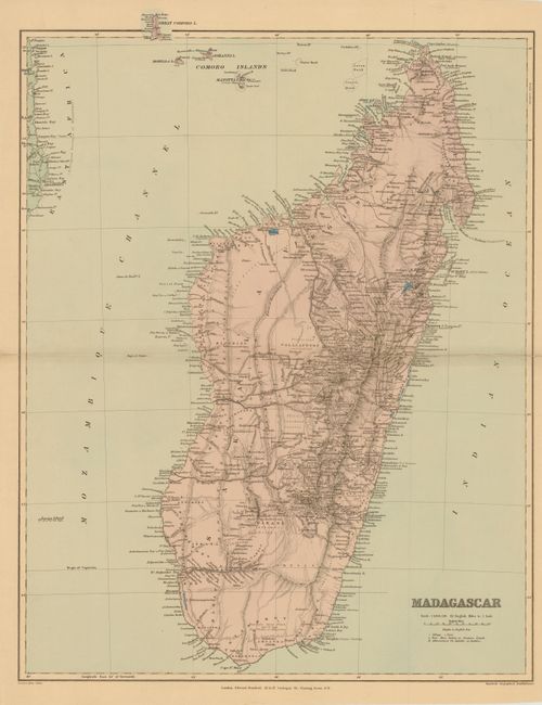
Subject: Madagascar
Period: 1901 (circa)
Publication: Stanford's London atlas of universal geography…
Color: Printed Color
Size:
18.8 x 23.5 inches
47.8 x 59.7 cm
Download High Resolution Image
(or just click on image to launch the Zoom viewer)
(or just click on image to launch the Zoom viewer)