Catalog Archive
Auction 138, Lot 785
"[Southeast Asia]", Heydt, Johann Wolfgang
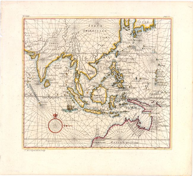
Subject: Southeast Asia
Period: 1744 (circa)
Publication: Allerneuster Geographisch...von Africa und Ost-Indien
Color: Hand Color
Size:
11 x 9 inches
27.9 x 22.9 cm
Download High Resolution Image
(or just click on image to launch the Zoom viewer)
(or just click on image to launch the Zoom viewer)