Catalog Archive
Auction 138, Lot 539
"Flandria", Mercator/Hondius
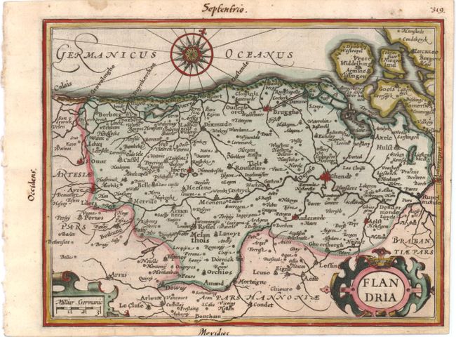
Subject: Western Belgium
Period: 1607 (published)
Publication: Atlas Minor
Color: Hand Color
Size:
7.5 x 5.3 inches
19.1 x 13.5 cm
Download High Resolution Image
(or just click on image to launch the Zoom viewer)
(or just click on image to launch the Zoom viewer)