Catalog Archive
Auction 138, Lot 261
"Map of the Grand Canon Platform and the Surrounding Mesozoic Formations", U.S. Geological Survey (USGS)
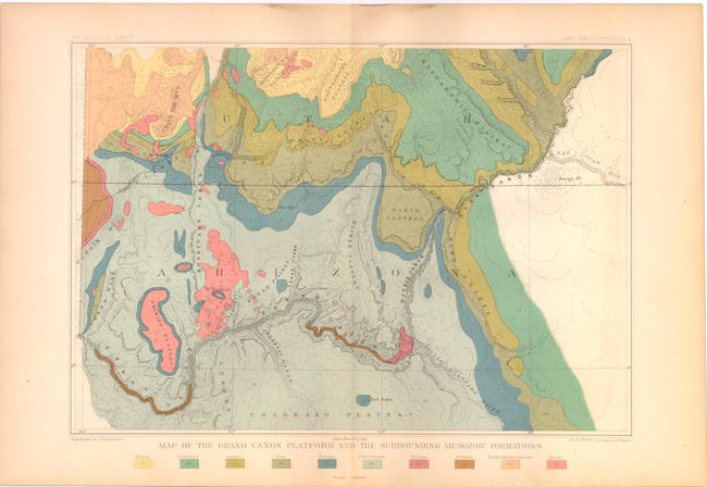
Subject: Grand Canyon, Arizona & Utah
Period: 1882 (published)
Publication: Atlas to Accompany the Monograph on the Tertiary History of the Grand Canon Dist
Color: Printed Color
Size:
13.5 x 9.5 inches
34.3 x 24.1 cm
Download High Resolution Image
(or just click on image to launch the Zoom viewer)
(or just click on image to launch the Zoom viewer)