Catalog Archive
Auction 138, Lot 141
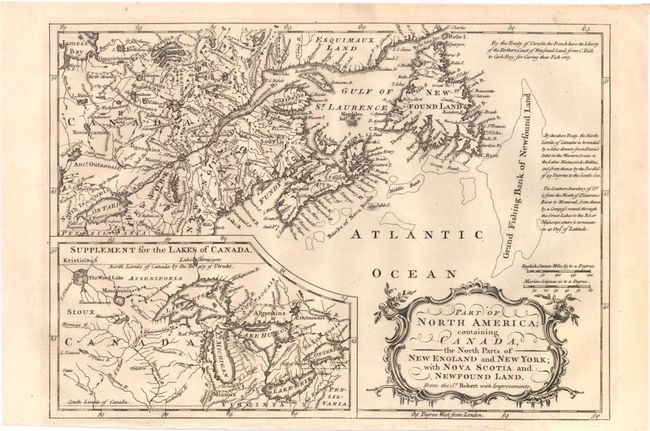
"Part of North America; Containing Canada, the North Parts of New England and New York; with Nova Scotia and Newfound Land", Barrow, John (Sir)
Subject: Canada & United States
Period: 1759 (published)
Publication: New Geographical Dictionary
Color: Black & White
Size:
11.5 x 8 inches
29.2 x 20.3 cm
Download High Resolution Image
(or just click on image to launch the Zoom viewer)
(or just click on image to launch the Zoom viewer)