Catalog Archive
Auction 137, Lot 801
"Statuum Maroccanorum, Regnorum nempe Fessani, Maroccani, Tafiletani et Segelomessani Secundum suas Provincias accurate divisorum, Typus generalis novus", Homann, Johann Christoph
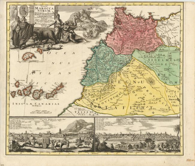
Subject: Morocco
Period: 1728 (dated)
Publication:
Color: Hand Color
Size:
22 x 19 inches
55.9 x 48.3 cm
Download High Resolution Image
(or just click on image to launch the Zoom viewer)
(or just click on image to launch the Zoom viewer)