Catalog Archive
Auction 137, Lot 636

"Principaute de Transilvanie Divisee en Cinq Nations Subdivisee en Quartiers et Comtez…", Fer, Nicolas de

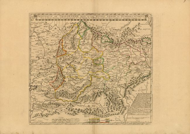
Subject: Transylvania, Romania

Period: 1724 (dated)

Publication:

Color: Hand Color

Size:
19.5 x 17.8 inches
49.5 x 45.2 cm
Download High Resolution Image
(or just click on image to launch the Zoom viewer)

This detailed map of Transylvania is bounded in the east and south by the Carpathain mountain range. As the title indicates, the region is divided into five nationalities, the Hungarians, Saxons, Sicules (from Sicily), Moldaves (from Moldavia), and Valaques (from Wallachia, Romania), which are identified in a key at bottom. An inset at right describes the region, including the climate, topography, main cities, and religions represented. This map was based on the work of Cantelli da Vignola and was first published in 1705. This edition was published by Guillaume Danet, De Fer’s son-in-law and successor.

References:

Condition: B+

Original outline color with wide margins and light toning along centerfold. Some light offsetting in blank margin at right, and marginal soiling.

Estimate: $200 - $300

Unsold

Closed on 9/14/2011

Archived