Catalog Archive
Auction 137, Lot 52

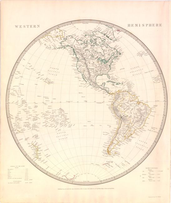
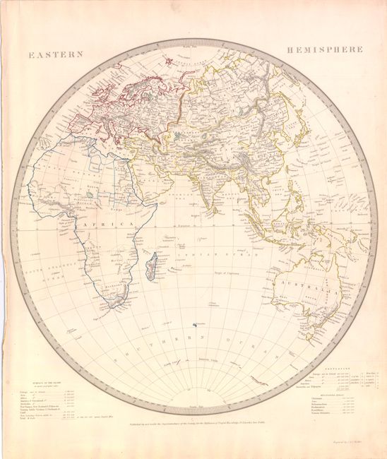
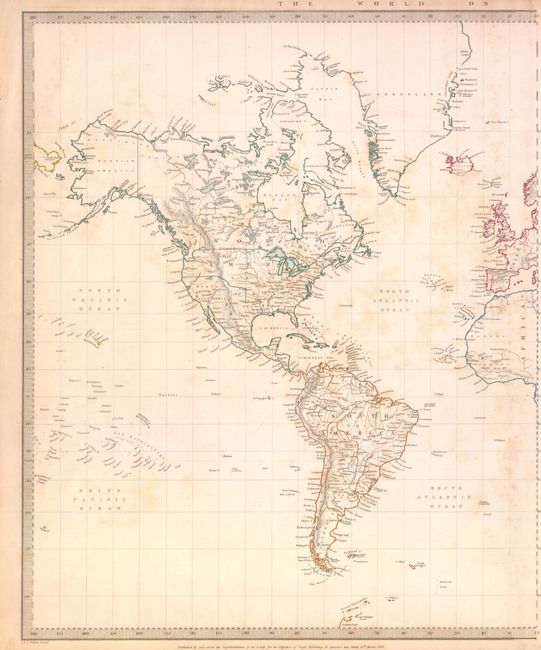
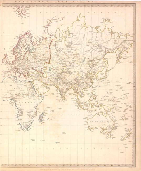
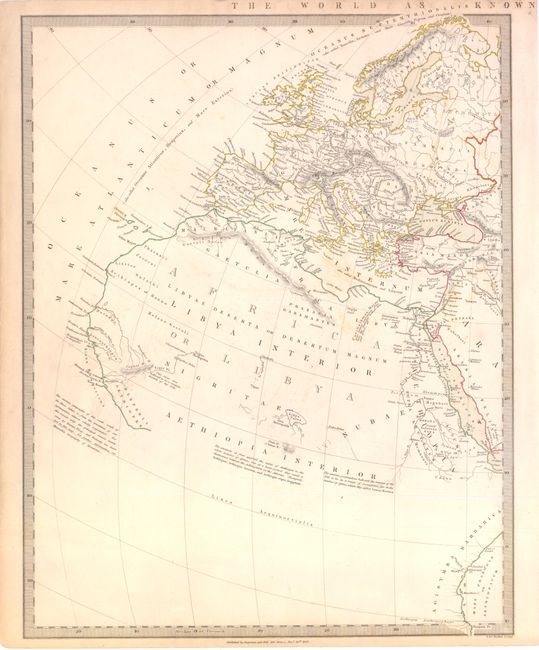
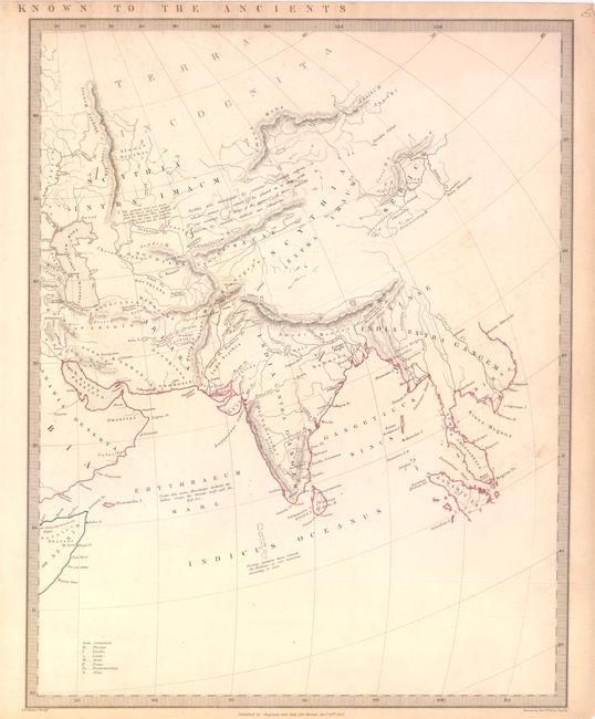
"[Lot of 4] Western Hemisphere [and] Eastern Hemisphere [and] The World On Mercator's Projection [and] The World as Known to the Ancients", SDUK Society for the Diffusion of Useful Knowledge

Subject: World

Period: 1841-42 (circa)

Publication:

Color: Hand Color

Size:
See Description
Download High Resolution Image
(or just click on image to launch the Zoom viewer)

The United States and Great Britain established in 1818 joint claim over the Oregon Territory - the region north of Spanish controlled Upper California up to the southern boundary of Russia's Alaska Territory at North latitude 54°40'. By the late 1830's this arrangement was beginning to fall apart. In the 1840's the expansionist Democrats, including their 1844 presidential candidate, James Polk, claimed the entire region for the United States. Their expansionist desires were expressed by Polk's famous campaign slogan, "Fifty-four Forty or Fight!" The slogan also became a rally cry for Americans desiring to settle the territory. Following Polk's election, the dispute was resolved by the 1846 Treaty of Oregon, which struck a compromise that fixed the U.S./Canadian boundary at 49º North.

A. Western Hemisphere, circa 1840 (12.8 x 13.2"). The boundary between the United States and Canada is based on British claims in the Northwest, and the present-day Southwestern states are controlled by Mexico. Matched pair with Eastern Hemisphere engraved by J. & C. Walker. Condition: Original color with a couple of small, barely visible spots. (A)

B. Eastern Hemisphere, circa 1840 (12.8 x 13.2"). Africa and Australia show practically no detail in their interiors. Some of the islands around Antarctica are beginning to appear. Matched pair with Western Hemisphere engraved by J. & C. Walker. Condition: Original color with some light soiling in blank margins. (B+)

C. The World On Mercator's Projection, dated 1841 (24 x 15.5" if joined). This delicately detailed map on two sheets presents a considerable amount of information. The United States is shown excluding the Southwest and Texas. Texas was an independent country from 1836-1845, but it is shown here as part of Mexico. The northern border of the United States and Canada shows the disputed border for Oregon Territory coming down to about the 45th parallel at the Columbia River, which reflects British claims in that region. This was finally solved in 1846 with the border at the 49th parallel. The Arctic region shows the extent of contemporary knowledge, noting nothing besides Packed Ice north of the Bering Strait. Africa is shown with much of its interior left unmapped - that region was not mapped thoroughly until the latter part of the 19th century. An attractive and informative map surrounded with a keyboard style border. Engraved by J. & C. Walker. Condition: Original color with faint scattered stains and light toning in blank margins. (B)

D. The World as Known to the Ancients, dated 1842 (24 x 15.5" if joined). Attractive map on two sheets showing the world that was known in classical times. The mapmakers used Rennell's Geography of Herodotus, as well as information from Hanno, Pliny and Ptolemy. As is the case with most maps from this series, there are numerous interesting notations that add information to the map and are particularly illuminating for a person wishing to better understand ancient geography. Drawn by Rev. Philip Smith, engraved by J. & C. Walker, and published by Chapman and Hall. Condition: Original color with a few very faint spots and some toning in blank margins. (B+).

References:

Condition:

See description.

Estimate: $300 - $400

Sold for: $150

Closed on 9/14/2011

Archived