Catalog Archive
Auction 137, Lot 105

"Carte Generale des Deux Ameriques",

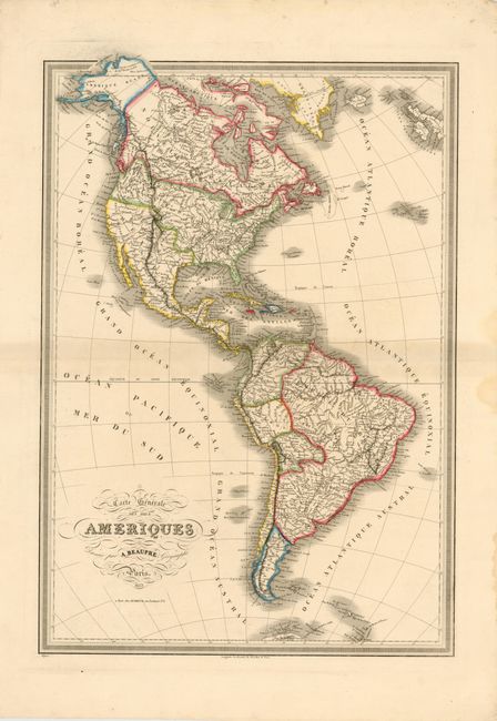
Subject: Western Hemisphere

Period: 1833 (dated)

Publication:

Color: Hand Color

Size:
19.2 x 27.5 inches
48.8 x 69.9 cm
Download High Resolution Image
(or just click on image to launch the Zoom viewer)

The United States and Great Britain established in 1818 joint claim over the Oregon Territory - the region north of Spanish controlled Upper California up to the southern boundary of Russia's Alaska Territory at North latitude 54°40'. By the late 1830's this arrangement was beginning to fall apart. In the 1840's the expansionist Democrats, including their 1844 presidential candidate, James Polk, claimed the entire region for the United States. Their expansionist desires were expressed by Polk's famous campaign slogan, "Fifty-four Forty or Fight!" The slogan also became a rally cry for Americans desiring to settle the territory. Following Polk's election, the dispute was resolved by the 1846 Treaty of Oregon, which struck a compromise that fixed the U.S./Canadian boundary at 49º North.

This handsome map of North and South America was engraved by A. Beaupre and published by Dubreuil. The map gives good detail of the interiors of both continents, with towns, states, regions, mountains and rivers well defined. The northwestern portion of the United States is called Oregon Territory with numerous Indian tribes named and evidence of the Oregon Boundary Dispute along the Canadian border. Mexico encompasses the entire southwest of the U.S. In South America, only six countries are delineated, with Columbia encompassing Ecuador and parts of Peru and Venezuela, and Brazil encompassing Paraguay, Uruguay, Guyana, Suriname, French Guiana and part of Venezuela. Argentina is labeled as Patagonie. The map is surrounded by a keyboard-style border.

References:

Condition: B+

Wide margins with light toning along centerfold and a few damp stains in blank margins, far from map image.

Estimate: $350 - $450

Unsold

Closed on 9/14/2011

Archived