Catalog Archive
Auction 136, Lot 837

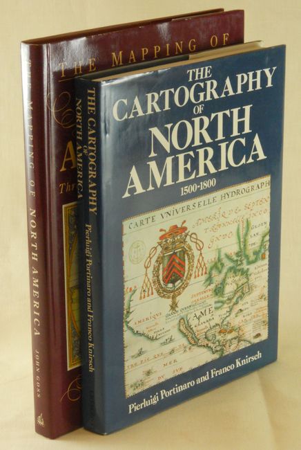
"[Lot of 2] The Cartography of North America 1500-1800 [and] The Mapping of North America. Three centuries of map-making 1500-1800",

Subject: Reference Books

Period: 1987-1990 (circa)

Publication:

Color: Printed Color

Size:
10 x 13 inches
25.4 x 33 cm
Download High Resolution Image
(or just click on image to launch the Zoom viewer)

1) The Cartography of North America 1500-1800, by Pierluigi Portinaro and Franco Knirsch, New York, 1987. This essential and nicely illustrated cartographic reference is filled with biographical sketches of major cartographers. It presents reproductions of authentic maps from the first three centuries of the mapping of North America reflecting an unfolding story of daring exploration, tenacious settlement, and fierce colonial rivalry. 320 pp. containing 180 extensively captioned maps, nearly all in full-color and over 90 supplementary illustrations. Published by Chartwell Books, Edison NJ, 1987. Hardbound in blue cloth with dust jacket. (9.8 x 13") Very nice example that appears unused. (A+)

2) The Mapping of North America. Three centuries of map-making 1500-1800. by John Goss. By focusing on the evolution of mapping, this book reveals how the perceptions of the world changed as more areas were explored. It contains many of the most important and famous maps of the Americas as well as some of the more common nineteenth century examples. 184 pp, introduction plus 85 full-page illustrations, of which 80 are in color, each with well researched information. Hardbound in cloth with illustrated dust jacket, The Wellfleet Press, 1990, 10.3 x 14.2". Like new condition. (A+)

References:

Condition:

Estimate: $100 - $150

Sold for: $50

Closed on 6/1/2011

Archived