Catalog Archive
Auction 135, Lot 777

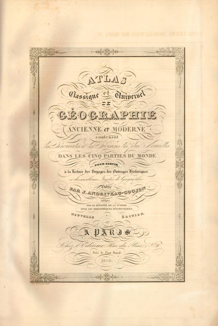
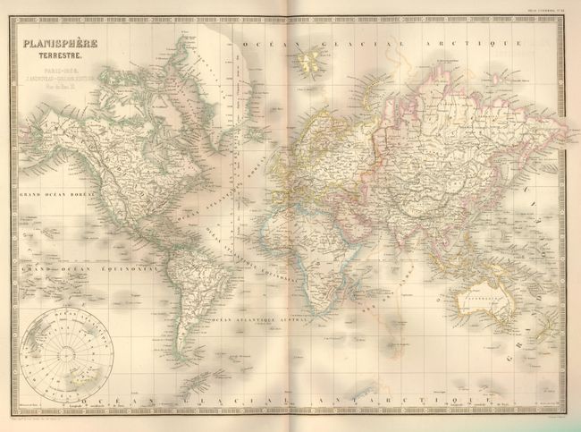
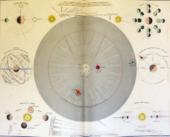
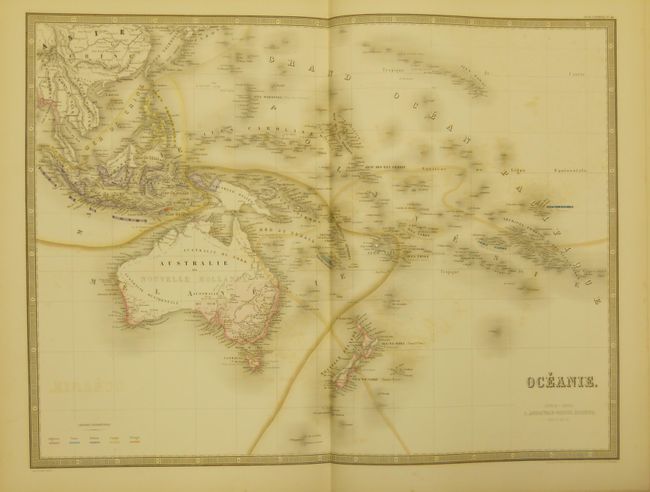
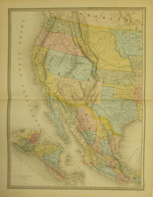
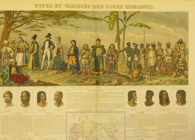
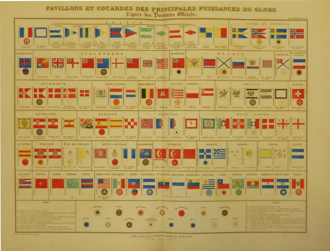
"Atlas Classique et Universel de Geographie Ancienne et Moderne…", Andriveau-Goujon, E.

Subject: Atlases

Period: 1859 (dated)

Publication:

Color: Hand Color

Size:
14.5 x 21.2 inches
36.8 x 53.8 cm
Download High Resolution Image
(or just click on image to launch the Zoom viewer)

The exceptional astronomical plates make this one of the most desirable French atlases of the mid-nineteenth century. Complete with 50 large charts, including 5 astronomical charts, 41 maps of the world, continents and major nations/regions (some folding or printed on two-sheets), a fabulous chart showing the races of mankind, and a chart of maritime flags. The map of the United States, printed on two double-page sheets, includes the large early western territories. All of the maps are extremely detailed and informative. J. Andriveau and J. Goujon, working collectively as Andriveau-Goujon, were among the most prominent cartographic publishers in Paris during the 19th century. They published high quality pocket maps, globes and atlases and often worked with other prominent French cartographers including Brue and Levasseur. An advertisement for their other works is bound in front of the title page. Original mottled paper boards with leather, raised bands and gilt title on spine and original paper label on front cover.

References:

Condition: B+

Beautifully colored with occasional minor offsetting. Binding is very nice with minimal wear and an old leather repair at foot. Front cover starting to detach on inside, but still sound. Overall a very good example.

Estimate: $750 - $1,000

Sold for: $1,700

Closed on 2/16/2011

Archived