Catalog Archive
Auction 135, Lot 770

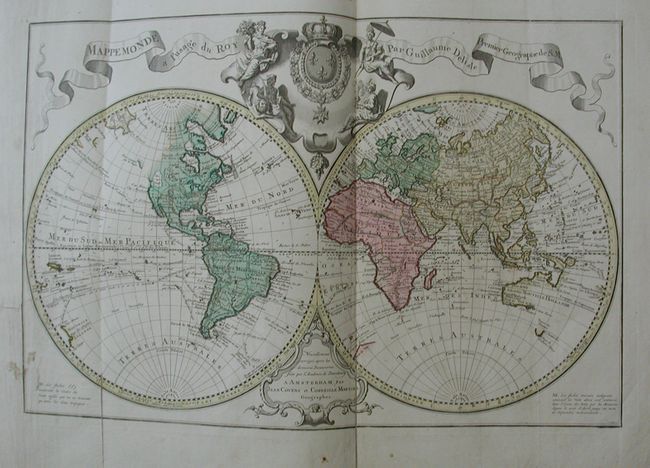
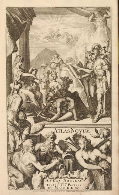
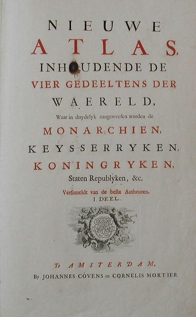
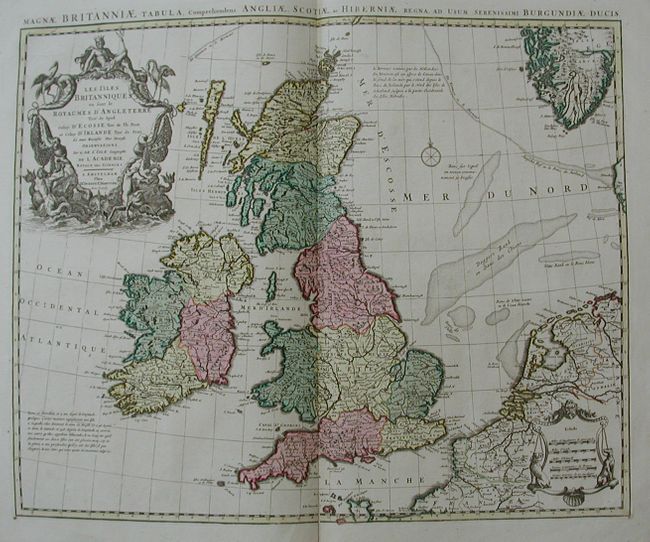
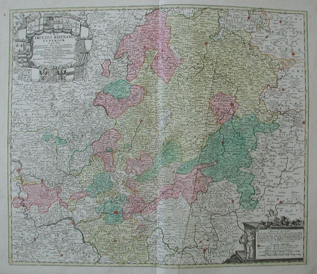
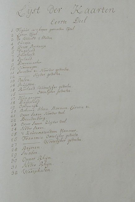
"Atlas Nouveau, Contenant Toutes les Parties du Monde &c.", Covens & Mortier

Subject: Atlases

Period: 1739 (published)

Publication:

Color: Hand Color

Size:
14 x 22 inches
35.6 x 55.9 cm
Download High Resolution Image
(or just click on image to launch the Zoom viewer)

This is a complete folio atlas in remarkably well-preserved condition. Two title pages, the second bears the Dutch title: "Nieuwe Atlas, Inhoudende de Vier Gedeeltens der Waerelf, Waar in duydelyk aangeweesen worden de Monarchien, Keysserryken, Konignryken, Staten Republyken, &c." Following the second title page is the list of maps ("Lyst der Kaarten") handwritten in manuscript brown ink, certainly contemporary to the atlas' production. Complete with 30 double-page maps of the World, Europe, and the countries and Kingdoms in Europe. The maps are all embellished with extravagant cartouches and are attractively hand colored in a contemporary hand. Bound in original brown calf with raised bands on spine and embossed gilt title. The maps present are named below. All are double page folio sheets measuring approximately 23" x 19".

1) "Mappemonde a l'usage du Roy Par Guillaume Delisle Premier Geographe de S.M." triple folded, 25.5 x 17", tear at left enters border, closed on verso with tissue (B+)
2) "Carte d'Europe Dressee pour l'Usage du Roy…" a little soiled and split in lower 1/3 of centerfold (B)
3) "Les Isles Britanniques ou sont le Royaumes d' Angleterre…" (A)
4) "Regni Angliae et Walliae Principatus Tabula…" (A+)
5) "Novisima Regni Scotiae septentrionalis et Meridionalis Tabula…" (A+)
6) "Hyberniae Regni in Provincis…" (A)
7) "Carte du Royaume de Danemarc Par Guill. De l'Isle…" one light stain at right border, otherwise fine (B+)
8) "Regni Noruegia Nova Tabula in uinque…" (B+)
9) "Carte des Courones du Nord…Danemark, Suede, & Norwege &c" (A+)
10) "Seconde Carte des Courones du Nord…Royaume de Danemark" (A)
11) "La Pologne…Starovolsk, Beauplan, Hartnoch…" clean 4" split in lower centerfold, else fine (B+)
12) "Regni Prussiae et Pressiae Polonicae…" (A+)
13) "Carte Generale de l'Empire de Russie" a small area of printing ink smudge, else fine (B+)
14) [untitled - Eastern Russia] (A+)
15) "Le Royaume de Hongrie…" (A+)
16) "Imperium Romano Germanicum in suos Circulos Divisum…" short tear in lower margin enters border, expertly closed on verso (B+)
17) "Germanica Austriaca complectens S.R.I. Circulum Austriacum…" (A)
18) "Regni Bohemiae Ducatus Silesiae, Marchionatus Moraviae et Lusatiae Tabula Gereralis" (A+)
19) "Tabula Marchionatus Brandenburgici et Ductus Pomeraniae…Circuli Saxoniae Superioris" a little marginal soiling at lower left, else fine (A)
20) "Land-Charte des Chur-Furstenthums Brandenburg" (A)
21) "Circuli Supe. Saxoniae pars Medidioinalis…" a little soiling in left margin at edge, otherwise fine (A)
22) "Circulus Sxoniae Inferioris in omnes suos Status et Principatus" (A+)
23) "L'Electorate de Hannover ou les Domaines du Roi de la Grande Bretigne en Allemagne" (A+)
24) "Partie Orientale de Cercle de Franconie…" (A+)
25) "L'Electorat de Mayence, le bas Palatinat, et ne Partie du Pays de Hesse et de la Riviere du Mein…" (A+)
26) "Bavariae Circulus et Electorat Insuas quasque Ditiiones…" miss-folded crease through cartouche, else fine (A)
27) "Circuli Sveniae Mappa ex subsidijs Michalianis…1743" two small printers creases at lower edge (B+)
28) "S.R.I. Circulus Rhenanus Superior…" weak crease from a miss-fold, else fine (A)
29) "S.R.I. Circulus Rhenanus Inferior sive Electorum Rheni…" (A)
30) "Circuli Westphaliae in omnes suos Status et Provincias…" (A)

In summary a terrific example of this desirable atlas, complete in every regard.

References:

Condition: A

Covers rubbed and spine a little worn particularly at top. Free end paper clean without previous owners' stamps or signatures. A small stamp on verso of second title page.

Estimate: $12,000 - $15,000

Unsold

Closed on 2/16/2011

Archived