Catalog Archive
Auction 135, Lot 579

"Turcici Imperii descriptio", Ortelius/Galle

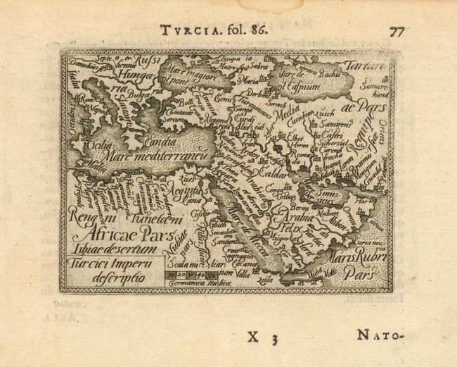
Subject: Turkish Empire

Period: 1588-98 (circa)

Publication: Epitome

Color: Black & White

Size:
4.3 x 3.2 inches
10.9 x 8.1 cm
Download High Resolution Image
(or just click on image to launch the Zoom viewer)

Beautifully and fully engraved copper plate map of the Arabian peninsula and Turkey. The map extends to show southern Europe naming Hungary, most of the Mediterranean to Italy and Crete, the Caspian and Black seas and extends to Tartary.

References: King, Miniature Maps, p.61.

Condition: A

Very early, dark impression on a sheet with wide, original margins. Weak impression at upper right corner and short tear in blank lower margin, closed on verso.

Estimate: $140 - $180

Sold for: $80

Closed on 2/16/2011

Archived