Catalog Archive
Auction 135, Lot 473

"Frisia Occidentalis", Merian, Matthaus

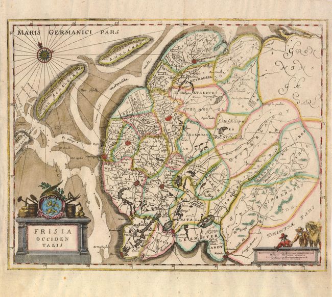
Subject: Netherlands

Period: 1660 (circa)

Publication:

Color: Hand Color

Size:
13 x 10.3 inches
33 x 26.2 cm
Download High Resolution Image
(or just click on image to launch the Zoom viewer)

Based on Blaeu's map of the province of Friesland, this small chart shows the county divisions. It shows the fortified cities as well as lakes, rivers, roads and many small settlements. The Frisian islands of Ameland, Terschelling and Vlieland form the separation of the Waddenzee and the North Sea. In the lower left is a decorative title cartouche with the Frisian shield flanked by agricultural tools. A nice compass rose and a scale of miles with surveyors and horses complete the composition.

References:

Condition: B+

The impression is a bit uneven and the map is printed on thin paper, as was common with German maps of this period.

Estimate: $160 - $200

Sold for: $120

Closed on 2/16/2011

Archived