Catalog Archive
Auction 135, Lot 280

"Railroad Map of Illinois", Rand McNally & Co.

Subject: Illinois

Period: 1901 (dated)

Publication: Railroad Commissioners

Color: Printed Color

Size:
19 x 30.5 inches
48.3 x 77.5 cm
Download High Resolution Image
(or just click on image to launch the Zoom viewer)
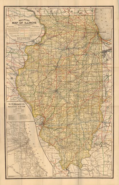
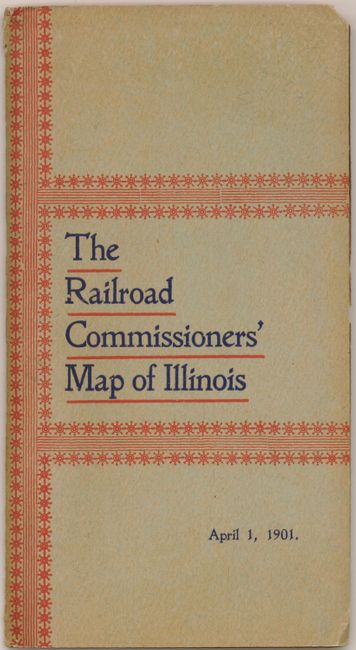
This railroad pocket map was published by the Railroad Commissioner's April 1, 1901. The map uses Rand McNally's map of 1897 as the base, with updates to 1901. It is highly detailed and handsome with all counties and townships shown, towns and villages and watershed. But the star of this map are the railroads which are delineated in a wide pallet of overprinted color. The map details the routes of a great number of lines all keyed from the legend that uses abbreviations to name many railroads. Large circular title cartouche which notes the map was "Prepared under the direction of, and presented by, Cicero J. Lindly, Chas. S. Rannells, and Jos. E. Bidwill, Railroad and Warehouse Commissioners." At lower left the large inset "Map of Chicago showing Railroad System" contains a table naming 25 rails within the Chicago area, and is copyrighted 1891. Expansive index on verso. Folds into original paper covers titled "The Railroad Commissioner's Map of Illinois April 1, 1901." Decorative orange printed graphics.

References:

Condition: A

This large map is fine. The paper covers have some chips at upper corner and another at edge of rear cover.

Estimate: $120 - $160

Sold for: $60

Closed on 2/16/2011

Archived