Catalog Archive
Auction 135, Lot 220

"[Lot of 2 - Western United States]", Perthes, Justus

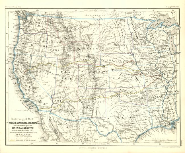
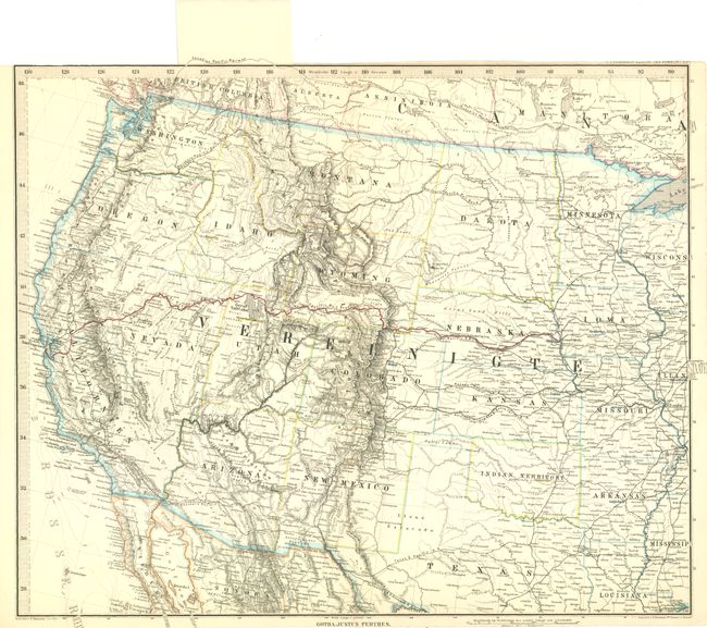
Subject: Western United States

Period: 1867-1875 (published)

Publication:

Color: Hand Color

Size:
See Description
Download High Resolution Image
(or just click on image to launch the Zoom viewer)

Karte von westl. Theile Verein. Staaten N.-Amerika's zur Ubersicht der grossen Eisenbahnbauten nach dem Pacific Ocn. Der neuesten Terrirorien und Aufnahmen, by J. Perthes, from Petermann's Geographische Mitteilungen, 1867, (9.8 x 7.6"). This is a very detailed and finely engraved map of the west. Shows excellent detail of planned and constructed railroads, using red color to indicate those completed. The transcontinental railroad is shown completed to near Ft. Grattan at the corner of Nebraska and Colorado. Montana, Wyoming, Utah, Idaho, Arizona and New Mexico are named as Territories, not a naming convention seen on many maps. (A)

[Untitled], by J. Perthes, (16 x 13"). This large Perthes map shows all of the west, covering the same area as the first map. Here the transcontinental railroad is completed all the way to the Pacific. The map is filled with information and provides high detail of watershed and topography, locating and naming the deserts of the southwest. In Arizona, Tucson is the state Capitol (1867-1877). The map has the original paper tab that continues the map at top to delineate the Canadian Pacific Railway through the border. Close trimmed at top, as issued and at bottom just affecting the imprint at bottom. Map image is fine. (B+)

References:

Condition:

See individual descriptions.

Estimate: $140 - $180

Sold for: $90

Closed on 2/16/2011

Archived