Catalog Archive
Auction 135, Lot 125

"Carte de l'Acadie et Pais Voisins…", Bellin, Jacques Nicolas

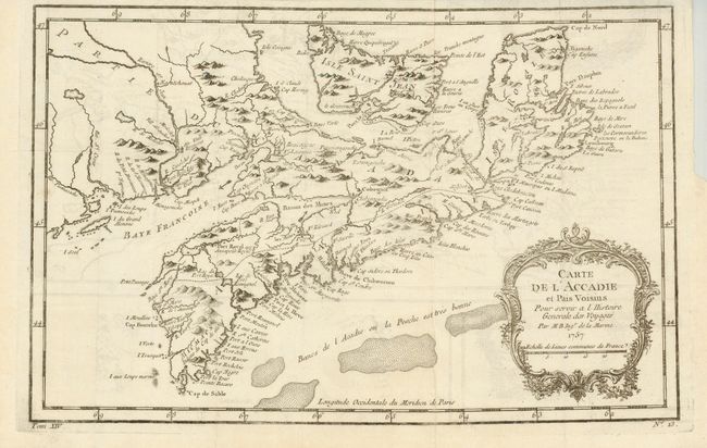
Subject: Canadian Maritimes

Period: 1757 (dated)

Publication: Prevost's Histoire Generale des Voyages

Color: Black & White

Size:
13 x 8.3 inches
33 x 21.1 cm
Download High Resolution Image
(or just click on image to launch the Zoom viewer)

Nice map with a decorative rococo-style cartouche. It shows in good detail Prince Edward Island, here called Isle Saint Jean, covers all of Nova Scotia including Cape Breton, locates numerous banks south of Nova Scotia. At lower left: "Tome XIV" and lower right: "No. 13".

References: Kershaw #782.

Condition: A

Near fine example with faint printer's crease across lower left corner. Issued folding on thin hand laid paper with binding trim at upper right.

Estimate: $160 - $200

Sold for: $160

Closed on 2/16/2011

Archived