Catalog Archive
Auction 135, Lot 123

"L'Acadie", Robert de Vaugondy

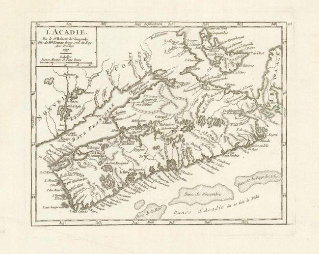
Subject: Canadian Maritimes

Period: 1749 (dated)

Publication: Atlas Portatif

Color: Black & White

Size:
8 x 6.3 inches
20.3 x 16 cm
Download High Resolution Image
(or just click on image to launch the Zoom viewer)

A finely engraved copper plate map of Nova Scotia, Prince Edward Island and part of Cape Breton Island. Good detail of rivers and lakes, and along the coast lines. Forests are depicted as groups of little trees. Shows three banks in the vicinity of today's Sable Island, Sambro and Emerald Banks. Locates Port Royal Annapolis, la Heve, mines and many coastal place names. Halifax, which is not named, was founded in the same year this map was published. This example is the third state with page number "196" engraved top right, outside the neatline.

References: Kershaw #777.

Condition: A

Beautiful impression on bright hand laid paper with wide margins and nice watermark. A short tear in right margin well away from map image is closed on verso with paper repair. Otherwise a fine, flawless example.

Estimate: $180 - $220

Sold for: $140

Closed on 2/16/2011

Archived