Catalog Archive
Auction 135, Lot 115

"Canada", Bonne, Rigobert
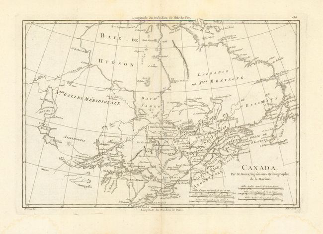
Subject: Canada

Period: 1787-88 (published)

Publication: Atlas Encyclopedique

Color: Black & White

Size:
13.5 x 9.3 inches
34.3 x 23.6 cm
Download High Resolution Image
(or just click on image to launch the Zoom viewer)

This precisely engraved map covers the region from Newfoundland, through the St. Lawrence River basin and westward to Lake Winnipeg with most of Hudson Bay. Many Indian tribes named throughout and several early forts located. With six distance scales. Longitude measured from Paris along the lower scale and from I'Isle de Fer along the top. Engraved by Andre.

References: Kershaw #383.

Condition: A

Map image is on thick hand laid paper with wide margins and deckled edges. In lower blank margin are some light water stains, map image is fine.

Estimate: $140 - $180

Sold for: $85

Closed on 2/16/2011

Archived