Catalog Archive
Auction 134, Lot 744

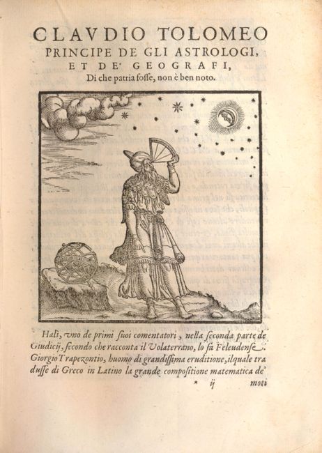
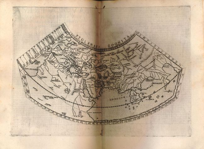
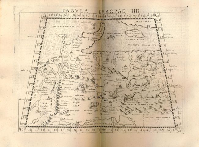
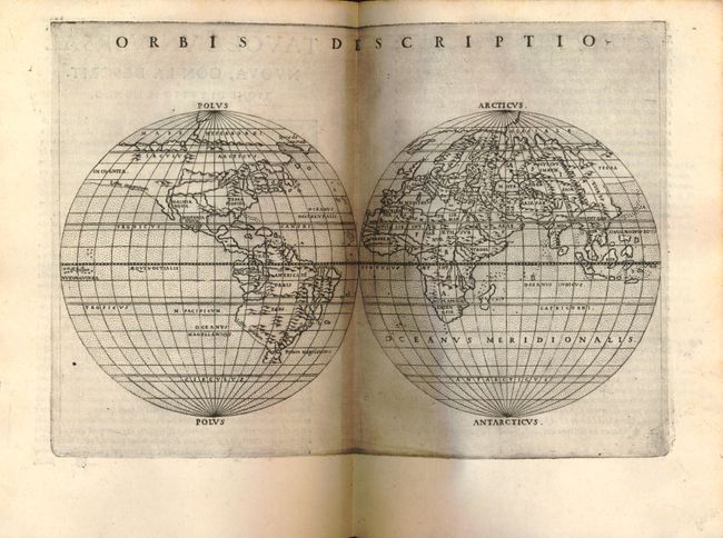
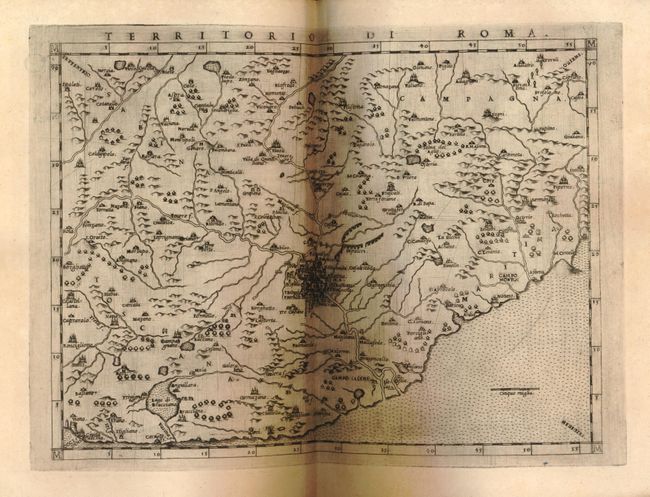
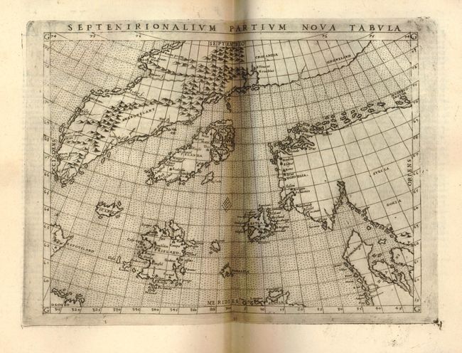
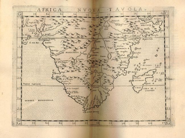
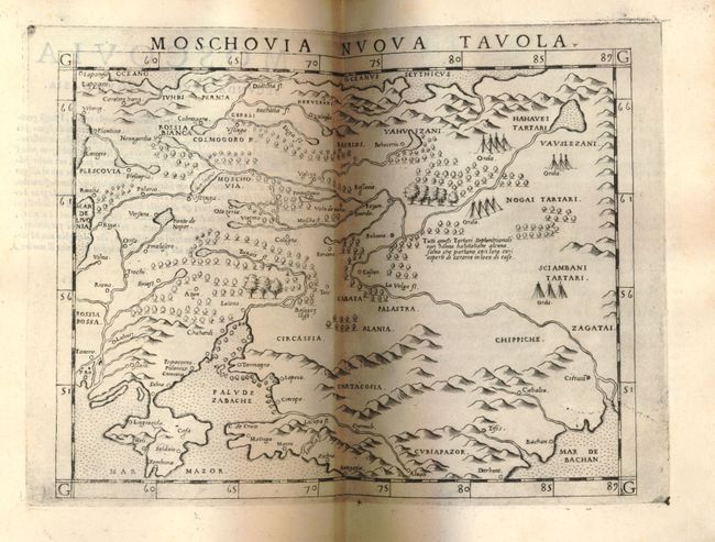
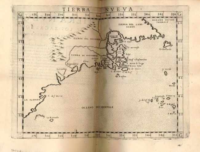
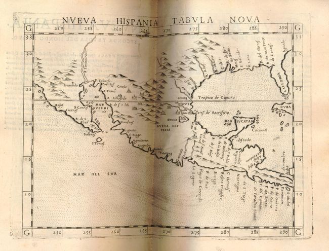
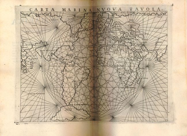
"La Geografia di Claudio Tolomeo Alessandrino", Ruscelli, Girolamo

Subject: Atlases

Period: 1574 (dated)

Publication: La geografia de Claudio Tolomeo…

Color: Black & White

Size:
7 x 9.3 inches
17.8 x 23.6 cm
Download High Resolution Image
(or just click on image to launch the Zoom viewer)

This is the third edition of Girolamo Ruscelli's translation of Claudius Ptolemy's Geographia. It was revised and corrected by Giovanni Malombra, and was printed by Giordano Ziletti. It is complete with 65 maps; 27 classic and 38 modern, which are enlarged copies of the maps created by Giacomo Gastaldi for his 1548 edition of Ptolemy. These maps demonstrate the amazing advances in geographic knowledge taking place in this great era of exploration. They are from finely engraved copper plates, which were a great improvement over the rather crude woodcut maps in many of the earlier editions. The maps are printed from the same plates as the first edition (1561) with the exception of the Ptolemaic world map, which reverted to the original conical projection of Ptolemy. This edition also includes the additional map of Territorio di Roma. There are two modern world maps; a seminal map of the eastern seaboard of North America; a map of Nueva Hispania that covers from Baja California, Mexico and Central America through Florida and the West Indies; and several other maps related to the Americas. Complete, 350 pp, index and two engraved frontispieces. Original vellum binding with three raised banks and brown ink manuscript title on spine.

References: Mickwitz & Miekkavaara (Nordenskiold) #220; Phillips (A) #381; Shirley #133.

Condition: A

The maps are fine impressions, very good and fine. Text with occasional faint foxing. Binding slightly shelf worn with some spotting, missing original ties. Overall remarkably very good condition.

Estimate: $15,000 - $18,000

Sold for: $17,000

Closed on 12/1/2010

Archived