Catalog Archive
Auction 134, Lot 708

"Mare del Sud, detto altrimenti Mare Pacifico…", Coronelli, Vincenzo Maria

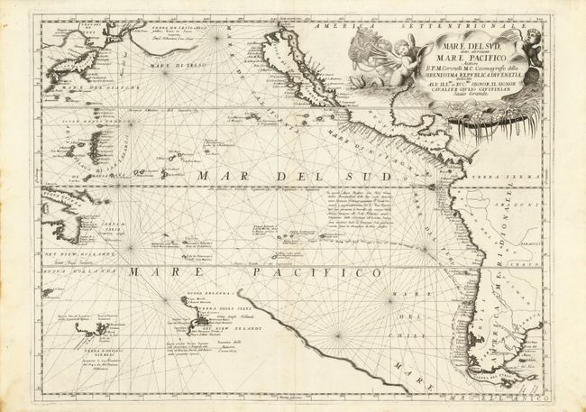
Subject: Pacific Ocean

Period: 1691 (circa)

Publication: Atlante Veneto

Color: Black & White

Size:
23.7 x 17.8 inches
60.2 x 45.2 cm
Download High Resolution Image
(or just click on image to launch the Zoom viewer)

This splendid map of the Pacific Ocean shows most of the coastlines of the Americas and the partially-known islands off the eastern coast of Asia. California is presented as a large island in the Foxe form. Isola del Giapone (Japan) is shown only 50 degrees from the California coast with the imaginary island of Terra de Iesso shown as a large landmass between Asia and North America. A portion of the coastline of New Zealand is shown with the discoveries of Able Tasman, and hinting that it may be part of the great southern continent. A little of Tasmania is shown as Terra d'Antonio Diemens and a partial coastline of Australia is shown blending into New Guinea. A notation below the equator states that the Spanish crossed the central Pacific from New Spain to the Philippines in sixty days. The route of Dutchmen, Jacob le Maire and Willem Cornelisz Schouten, through the South Pacific is traced. This important voyage (1615-17) opened a new shipping route from the Atlantic to the Pacific and proved that Tierra de Fuego was an island and not a part of some massive southern continent. The map is adorned with a cartouche featuring aquatic putti surrounding a large shell filled with pearls and coral.

References: Burden #680; McLaughlin #104.

Condition: A

Fine impression with just a hint of soil in the blank margins. There is a tissue repair on the fold at bottom.

Estimate: $2,100 - $2,500

Sold for: $2,750

Closed on 12/1/2010

Archived