Catalog Archive
Auction 134, Lot 526

"Tabula Europae VI", Munster, Sebastian

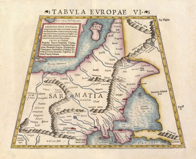
Subject: Eastern Europe, Russia

Period: 1552 (published)

Publication: Geographiae Claudii Ptolmaei Alexandrini

Color: Hand Color

Size:
13.3 x 10 inches
33.8 x 25.4 cm
Download High Resolution Image
(or just click on image to launch the Zoom viewer)

This map covers Eastern Europe, known in ancient times as Sarmatia, encompassing the region between the Baltic and Black Seas and between the Vistua and Volga Rivers. The map is typically Ptolemaic - set within a trapezoidal frame with rope-like mountain ranges and broad rivers. In earlier editions of Munster's Geographicae, this map is titled Tabula Europae VIII.

References: Mickwitz & Miekkavaara (Nordinskiold) #215-10.

Condition: A

Sharp impression with just a hint of faint foxing in the blank margins.

Estimate: $400 - $500

Sold for: $300

Closed on 12/1/2010

Archived