Catalog Archive
Auction 134, Lot 372
"Carte du Paraguay et des Pays voisins", Bellin, Jacques Nicolas
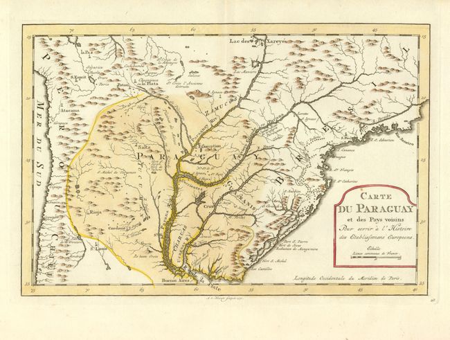
Subject: Paraguay
Period: 1773 (published)
Publication: Raynal's Atlas Portatif…
Color: Hand Color
Size:
12 x 8 inches
30.5 x 20.3 cm
Download High Resolution Image
(or just click on image to launch the Zoom viewer)
(or just click on image to launch the Zoom viewer)