Catalog Archive
Auction 134, Lot 362
"Pas-Kaart van de Zee-kusten van Guiana Tusschen Cabo Noord en Rio Amano…", Keulen, Johannes van
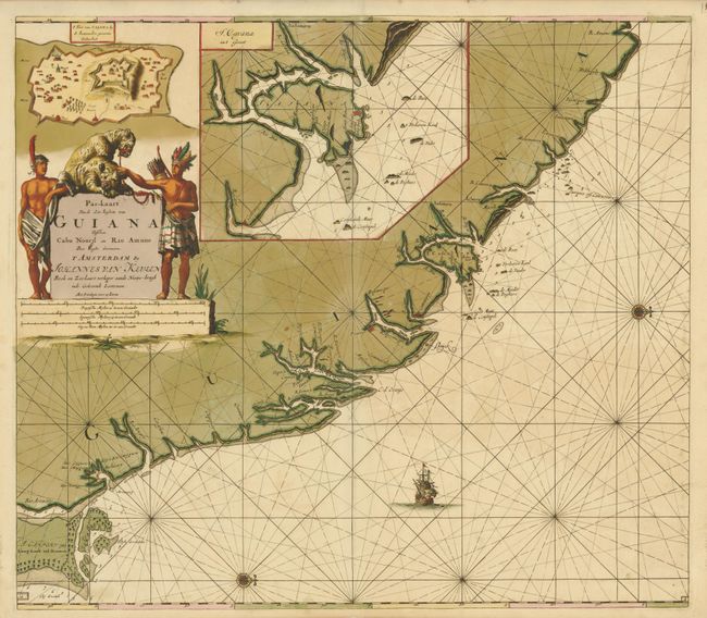
Subject: Guyana
Period: 1700 (circa)
Publication:
Color: Hand Color
Size:
23 x 20.3 inches
58.4 x 51.6 cm
Download High Resolution Image
(or just click on image to launch the Zoom viewer)
(or just click on image to launch the Zoom viewer)