Catalog Archive
Auction 134, Lot 333

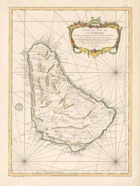
"Carte de l'Isle de la Barbade dressee au Depost des Cartes et Plans de la Marine", Bellin, Jacques Nicolas
Subject: Lesser Antilles, Barbados

Period: 1758 (dated)

Publication: Hydrographie Francoise…

Color: Hand Color

Size:
16 x 22 inches
40.6 x 55.9 cm
Download High Resolution Image
(or just click on image to launch the Zoom viewer)

This is a very handsome chart and one of the finest large-scale maps of Barbados. The island is shown divided into parishes with fine detail of topography, anchorages, shoals, rocks, etc. Published by the French Admiralty, the map is boldly engraved with an elaborate cartouche, rhumb lines, and the seal of the Depot de la Marine. Prix . Trente Sols outside bottom left border.

References: Campbell (MCC-21) #33, plt. XIV.

Condition: A

Paper edges with a few repaired tears and a bit of light foxing in margins, else fine.

Estimate: $700 - $800

Sold for: $500

Closed on 12/1/2010

Archived