Catalog Archive
Auction 134, Lot 298

"Mexico, Guatemala, and the West Indies", Bradford, Thomas Gamaliel

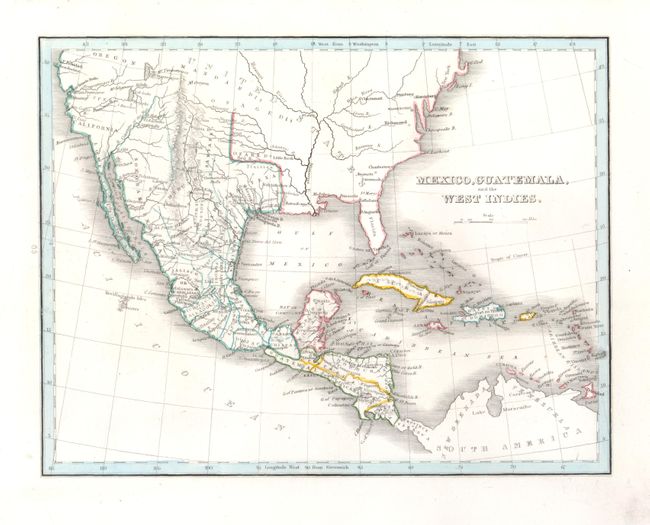
Subject: United States, Mexico, Central America and Caribbean

Period: 1835-38 (circa)

Publication: Comprehensive Atlas

Color: Hand Color

Size:
10 x 7.7 inches
25.4 x 19.6 cm
Download High Resolution Image
(or just click on image to launch the Zoom viewer)

This map was published during the Texas Revolution. It shows Mexico in control of the entire Southwest including Texas and California, its northern boundary with Oregon Territory. Texas is labeled Coahuila & Texas with the settlements of Austin's Colony, St. Antonio and several others named. Place names include San Francisco, San Diego, Santa Fe and S. Juan in place of Taos. The Great Salt Lake is shown with the settlement Brigsda to the south and is connected to the ocean via the fictitious R. Buenaventura. The map extends to show all of Central America and the Caribbean.

References:

Condition: A+

Very nice example with clean bright paper, crisp impression and wide margins.

Estimate: $180 - $220

Sold for: $90

Closed on 12/1/2010

Archived