Catalog Archive
Auction 134, Lot 182

"Carte de la Caroline et Georgie", Bellin, Jacques Nicolas

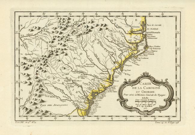
Subject: Southeastern United States

Period: 1757 (dated)

Publication: L'Histoire Generale des Voyages

Color: Hand Color

Size:
11 x 7.3 inches
27.9 x 18.5 cm
Download High Resolution Image
(or just click on image to launch the Zoom viewer)

Delicately engraved map of the colonies of Carolina and Georgia from Albemarle Sound to the Alatamaha River. It probably owes its origin to the 1752 map of the region by Emanuel Bowen. There are numerous English settlements along the coast and Indian villages are located throughout, including a number west of the Appalachian Mountains. There is more detail in the area west of the Blue Ridge than in many other maps of the period. It shows a rudimentary course of the Tennessee River in the northwestern section of the map. A decorative rococo-style title cartouche incorporates the distance scale.

References: Cummings (SE) #311; Sellers & van Ee #1384.

Condition: A+

Beautiful impression and full margins.

Estimate: $325 - $375

Sold for: $220

Closed on 12/1/2010

Archived