Catalog Archive
Auction 133, Lot 738

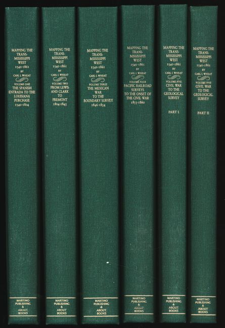
"Mapping the Transmississippi West...1540-1861", Wheat, Carl I.

Subject: Reference Books

Period: 1995 (published)

Publication: The Institute of Historical Cartography

Color:

Size:
8.2 x 12.3 inches
20.8 x 31.2 cm
Download High Resolution Image
(or just click on image to launch the Zoom viewer)

Carl Wheat's monumental work on western cartography. This is the Martino reprint, limited to 350 copies. Lists1302 maps, fully annotated with 376 illustrated. This reprint is in a size that is much more useful than the original first edition which was published from San Francisco between 1957 and 1963. Illustrated throughout with facsimile maps, many folding and colored. Considered the definitive work detailing the mapping of the American West with an excellent bibliography.

References:

Condition: A+

Six volumes, new condition. In green cloth boards, gilt-lettered spine.

Estimate: $800 - $900

Sold for: $600

Closed on 9/1/2010

Archived