Catalog Archive
Auction 133, Lot 468
"Plan du Port du Passage", Bellin, Jacques Nicolas
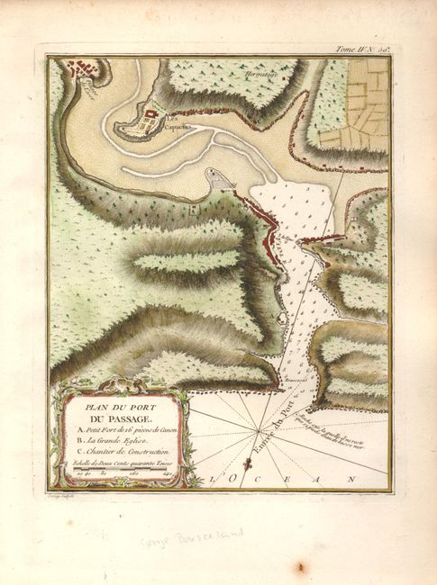
Subject: Spain and France
Period: 1764 (published)
Publication: Petit Atlas Maritime
Color: Hand Color
Size:
7 x 9 inches
17.8 x 22.9 cm
Download High Resolution Image
(or just click on image to launch the Zoom viewer)
(or just click on image to launch the Zoom viewer)