Catalog Archive
Auction 133, Lot 332

"La Martinique par les Ingenieurs Anglais lorsqu'ils en etoient possesseurs par Jeffreys 1775", Le Rouge, George Louis
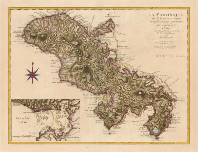
Subject: Martinique

Period: 1779 (dated)

Publication:

Color: Hand Color

Size:
23.4 x 17.8 inches
59.4 x 45.2 cm
Download High Resolution Image
(or just click on image to launch the Zoom viewer)

This French version of the 1775 Jeffreys map is skillfully executed especially with respect to the rugged topography that is shown by the use of hachures. The chart includes a large inset map of the Fort-Royal Bay. The map was drawn from surveys conducted by the British in 1762-63 when England briefly controlled the island. It provides an excellent view of the topography, rivers, sugar cane plantations, cattle mills, water mills, churches, hospitals, settlements, and roads in the interior, and forts, safe anchorages and navigational hazards along the coastline. The sugar trade made the island so valuable to the French government that at the Treaty of Paris (1763), which ended the Seven Years War, they gave up all of Canada in order to regain Martinique as well as the neighboring island of Guadeloupe.

References: Sellers & Van Ee #2064.

Condition: A

Sharp impression printed on a sturdy sheet that is faintly toned. The centerfold has been reinforced with tissue on verso.

Estimate: $600 - $700

Sold for: $400

Closed on 9/1/2010

Archived