Catalog Archive
Auction 133, Lot 254

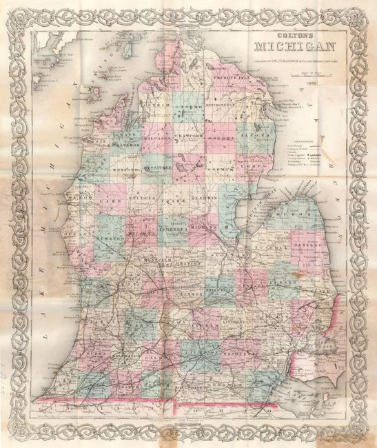
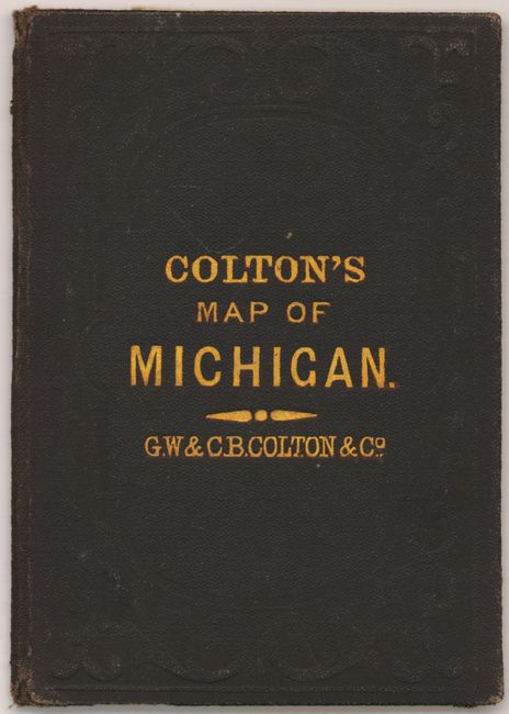
"Colton's Michigan", Colton, G.W. & C.B.

Subject: Michigan

Period: 1870 (dated)

Publication:

Color: Hand Color

Size:
12.8 x 15.4 inches
32.5 x 39.1 cm
Download High Resolution Image
(or just click on image to launch the Zoom viewer)

The pocket map edition is on fine banknote style paper. The map is dated 1855 and shares Colton's scrollwork border with maps from the 1850's. The map is very detailed showing political boundaries, cities and villages, watershed and lakes. The extensive network of railroads are in the lower half of the state, now just extending north to Leonard in Mecosta County and to Bay City on Saginaw Bay. Planned railway expansion is suggested by light lines. The legend locates Common Roads, Canals, etc. Blank verso. Folds into brown cloth embossed and gilt boards (3.5" x 4.7") with original yellow paper label on inside listing other maps and atlases available from the Colton firm.

References:

Condition: B+

The map is toned where pasted into the covers and with a few other spots. Along the lower margin are two toned areas related to the pasted section.

Estimate: $200 - $250

Sold for: $100

Closed on 9/1/2010

Archived