Catalog Archive
Auction 133, Lot 238

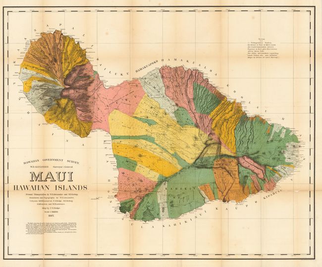
"Maui, Hawaiian Islands", Hawaii Territorial Surveys

Subject: Hawaii

Period: 1885 (dated)

Publication:

Color: Printed Color

Size:
35.7 x 29.2 inches
90.7 x 74.2 cm
Download High Resolution Image
(or just click on image to launch the Zoom viewer)

This is the first edition of this large and handsome map depicting Maui in great detail shortly after its annexation by the United States. Maui was the main island of the "county group" with a population approaching 40,000. Survey work during the previous decade had resulted in preparation of good maps, but there remained the problem of laying out the lands for settlement under existing land laws. This map delineates lands for sale, awarded lands, and much more. Made under the direction of W.D. Alexander, Surveyor General. Map drawn by F.S. Dodge, with topography by Alexander, Dodge, C.J. Lyons, M.D. Monsarrat, S.E. Bishop, E.D. Baldwin, and W.R. Lawrence.

References:

Condition: B

Full margins and nice color. Toned on some folds and fragile along two folds with small loss and backing with tissue.

Estimate: $250 - $300

Sold for: $190

Closed on 9/1/2010

Archived