Catalog Archive
Auction 133, Lot 178

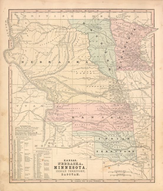
"Kansas, Nebraska, Minnesota, Indian Territory, Dacotah", Smith, Roswell C.

Subject: United States - Midwest

Period: 1860-62 (circa)

Publication: Smith's Geography

Color: Hand Color

Size:
10.7 x 11.8 inches
27.2 x 30 cm
Download High Resolution Image
(or just click on image to launch the Zoom viewer)

This map's main feature is the desirable depiction of Jefferson Territory, named here along the Front Range of the Rocky Mountains. Shows early appearances of Denver, Auraria (just above Denver), and Aurora. This extralegal and unrecognized territory of the United States existed from October 24, 1859 until the creation of the Colorado Territory on February 28, 1861. St. Charles, the first name given for Denver, is erroneously shown just to the west of Pueblo with Denver correctly located well to the north. The map features large territories including Nebraska which stretches from the Rocky Mountains to the Missouri River, and Kansas which extends to the Rocky Mountains at the Front Range, overlapping Jefferson Territory. The map is filled with information including the U.S. Mail route through NM and Indian territories, numerous proposed railroad routes delineated throughout the west, with many forts and Indian Tribes located. Watershed is well developed for the period.

References:

Condition: B+

A little marginal soiling or staining, map image is very good less some soiling at lower right.

Estimate: $180 - $220

Sold for: $160

Closed on 9/1/2010

Archived