Catalog Archive
Auction 132, Lot 739

"[Lot of 4 - Atlases]", Cram, George F. & Company

Subject: Atlases

Period: 1885-1904 (dated)

Publication:

Color: Printed Color

Size:
12 x 15 inches
30.5 x 38.1 cm
Download High Resolution Image
(or just click on image to launch the Zoom viewer)
George F. Cram founded his company in 1869 after a short partnership with his uncle, Rufus Blanchard, one of the earliest map publishers in Chicago. Initially he published state maps and eventually entered the atlas field. He developed the technically complex business of atlas production and specialized in producing those that reached the widest audience possible. As the literacy rate rose in 19th century America, so did the market for atlases, which provided a compendium of information about the country and the wider world. Cram capitalized on this need and filled his atlases with an incredible amount of information that was continually updated. Between 1880 and 1920 the firm published several hundred separate atlases, most aimed at middle-class American families. The examples in this lot provide a nice selection of his works and illustrate the range of his market.

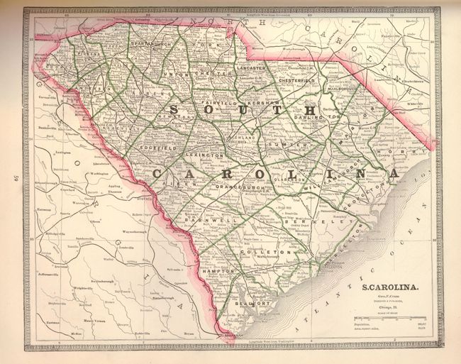
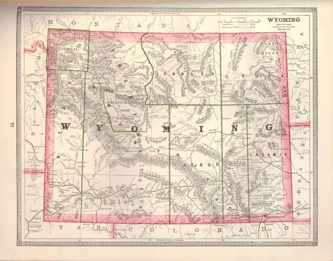
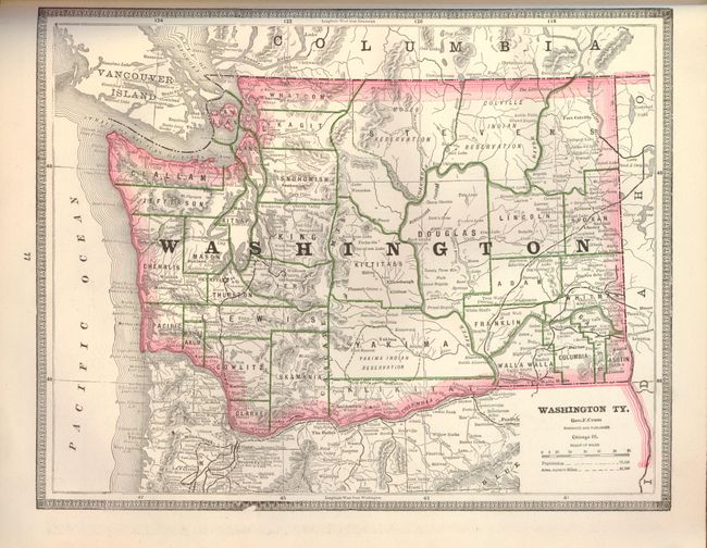
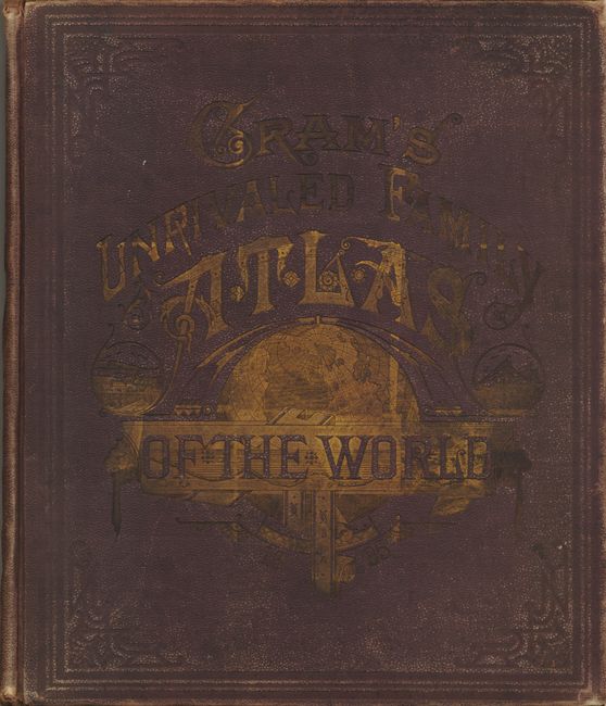
1) Cram's Unrivaled Family Atlas of the World, 1885. Complete with over 70 wax engraved maps with decorative borders. The double-page maps are contiguous and are tipped-in as in the earlier style. All states and territories are represented with 40+ maps of U.S. interest. Other charts include Flags of the World, five thematic charts, types of the Races of Men, several pages of portraits, and a charming improvements of the century page with numerous engravings showing the plow, sewing machine, electric light, wheat thrashing machine, a locomotive, and more. Copyright 1883 on title page, but dated 1885 on the cover. Title page, table of contents, maps, index, 200 pp. Hardbound with brown cloth, with deluxe embossing and gilt titling and red fore-edges. Covers rubbed, contents very good (A).

2) Cram's Unrivaled Family Atlas of the World, 1886. Complete with over 90 wax engraved maps. The double-page maps are contiguous and are tipped-in. All states and territories are represented with 40+ maps of U.S. interest. Added to this atlas is a section titled Historical and Chronological United States from 986 to 1886, which was "Designed to Simplify the Study of History." This includes nine historical maps of the United States illustrating native settlements, European discovery and settlement, wars, independence, westward expansion, the Civil War, and "Peace". Copyright 1883 on title page, but dated 1886 on the cover. Title page, table of contents, maps, Political Parties of the United States (15 pp.), index, 231pp. Hardbound with brown cloth, with deluxe embossing and gilt titling. Minor wear to covers, contents very good (A).

3) Pictorial Atlas of the Greater United States and the World, 1903. Complete atlas with over 120 cerographic maps and plates covering U.S. states, cities and countries of the world, including 76 related to the United States. This atlas was published during the conversion period from full double-page maps to split ones, as we see in atlases today. Most of the double-page maps are bound in this manner, but a few are printed on two sheets. Title Page, Table of Contents, maps and plates, historical text, index 350 pp. Hardbound in blue cloth with printed and embossed front cover and red fore-edges. Covers worn, front cover separated and held on with masking tape, a few loose pages, maps very good (C+)

4) Cram's Atlas of the World Ancient and Modern, 1904. This massive atlas containing over 240 cerographic maps and plans of the United States and the rest of the world; 90 of which relate to the United States including some great city plans. More than half the maps are double-page, and are still contiguous and tipped-in. The extensive index directly follows each map making it so that most maps are not printed back-to-back. It includes some maps not usually seen in atlases of this period such as individual maps of the states in Australia and a Scenic-Topographical Map of South-Africa. Title page, introduction, table of contents, general index, maps and individual indexes, text, photographs & diagrams, 856 pp. Hardbound in quarter calf with gold embossed front cover and gilt fore-edges. Front cover is partially detached with cello tape holding it together, part of the spine is missing but the binding is tight, contents fine (C+)

References: Conzen ed. (Chicago Mapmakers) Danzer, pp 32-45.

Condition:

See description

Estimate: $500 - $700

Sold for: $550

Closed on 6/2/2010

Archived