Catalog Archive
Auction 132, Lot 674

"Tabula Geographica Partis Septentrionalis Maris Pacifici cum Adjacentibus Regionibus Superime tam a Russis Orientem…", Von Euler, Leonhard

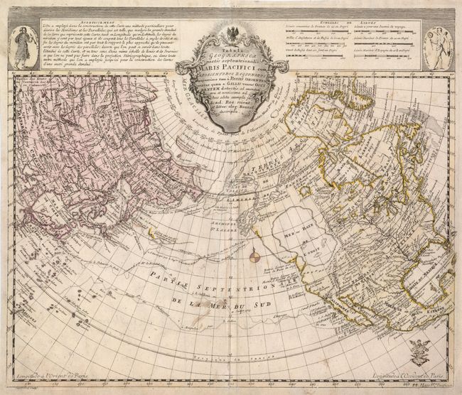
Subject: North Pacific Ocean

Period: 1753 (circa)

Publication: Atlas Geographicus

Color: Hand Color

Size:
15.3 x 12.8 inches
38.9 x 32.5 cm
Download High Resolution Image
(or just click on image to launch the Zoom viewer)

This is a scarce, reduced-size version of the Delisle/Buache map of Alaska and the North Pacific. The map was initially drawn while Joseph Nicolas Delisle was in the service of Peter the Great in Russia. It depicts the discoveries of the Russians in 1723, 1732 and 1741, the tracks of Bering's first and second voyages, Joseph Nicolas Delisle's voyage with Capt. Tchirikow in 1741, the track of De Frondat's voyage of 1709, and the route of the Galleons in 1743. But more importantly, it features the imaginary cartographic theories of Philippe Buache with whom Delisle first published this map in 1750. The west coast of North America is entirely fictitious north of Cap Blanc with an enormous Sea of the West and Lac Valasco. A network of rivers and lakes, making up most of a Northwest Passage, is derived from the apocryphal voyages of the Spanish admiral Bartholome de Fonte. The title cartouche is flanked by a native of Kamchatka in the upper left corner and a native of Louisiana in the upper right corner. Leonahard von Euler worked with Delisle in St. Petersburg and was associated with the preparation of the Atlas Russicus in 1745. He returned to Berlin where his Atlas Geographicus was published for the Royal Prussian Academy of Sciences in 1753, with subsequent edition in 1756 and 1760.

References:

Condition: B

There are some minor brown ink smudges in the map and a professionally repaired lower centerfold.

Estimate: $700 - $800

Sold for: $500

Closed on 6/2/2010

Archived