Catalog Archive


Auction 132, Lot 663
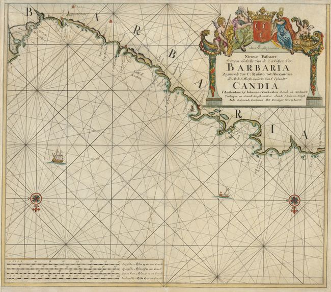
"Nieuwe Pascaart voor een Gedeelte van de Zeekusten van Barbaria Beginnende van C: Rusato tot Alexandria als Mede t' Meeste Gedeelte van t' Eylandt Candia", Keulen, Johannes van

Subject: Africa - Northern
Period: 1680 (circa)
Publication:
Color: Hand Color
Size:
23 x 20 inches
58.4 x 50.8 cm
Download High Resolution Image
(or just click on image to launch the Zoom viewer)
(or just click on image to launch the Zoom viewer)