Catalog Archive
Auction 132, Lot 656
"[Lot of 3] Africa"
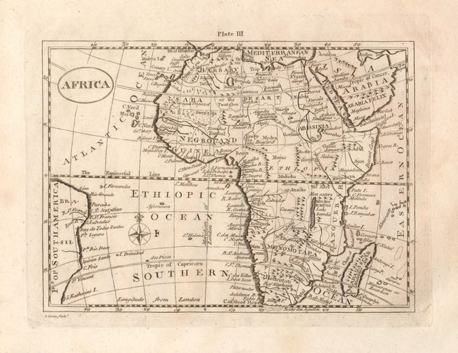
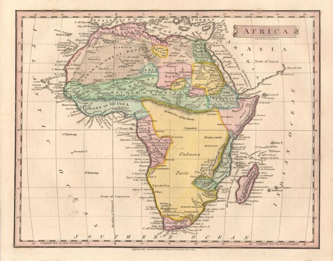
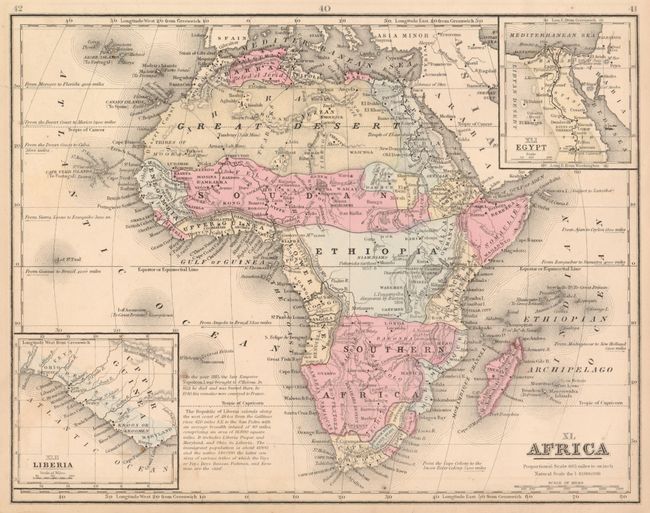
Subject: Africa
Period: 1792-1865
Publication:
Color:
Size:
See Description
Download High Resolution Image
(or just click on image to launch the Zoom viewer)
(or just click on image to launch the Zoom viewer)