Catalog Archive
Auction 132, Lot 633

"[Japanese Map of Japan]",
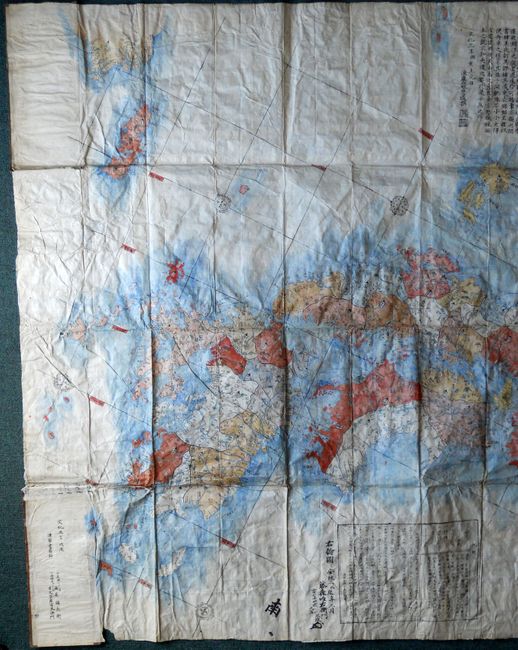
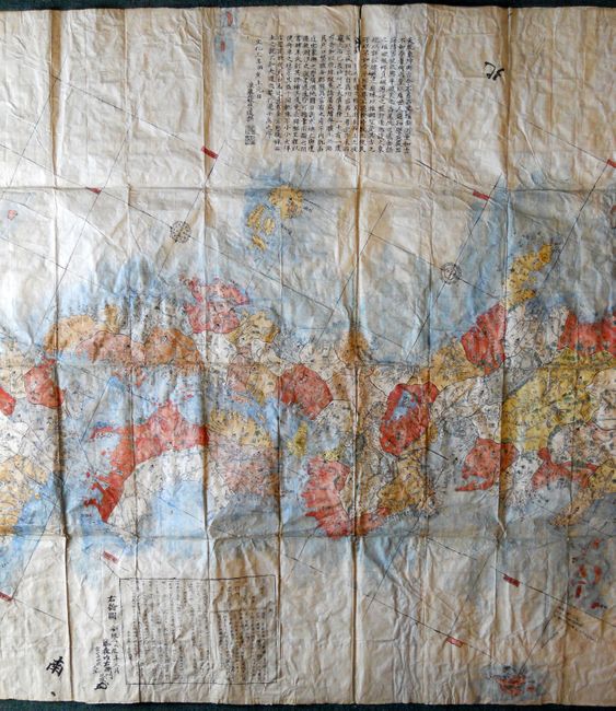
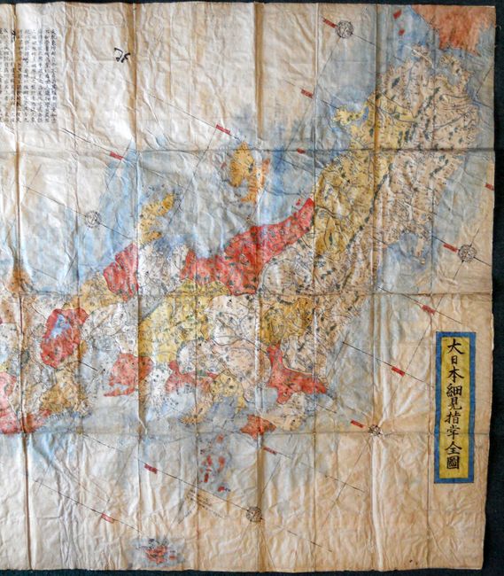
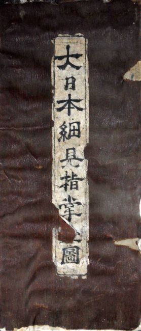
Subject: Japan

Period: 1820-1870 (circa)

Publication:

Color: Hand Color

Size:
50 x 84 inches
127 x 213.4 cm
Download High Resolution Image
(or just click on image to launch the Zoom viewer)

This huge National case map is after the important Sekisui map, covering the same area and drawn in a virtually identical style. It was likely published toward the end of the Edo period or very early in the Meiji Era. This imposing example of Japanese cartography details the main islands of Honshu, Shikoku and Kyushu, includes just a small portion of South Korea and Hokkaido. The detail throughout is amazing with virtually no area not filled with symbols and annotated. The map appears to be manuscript but some of it may be wood block. The title is certainly manuscript and the blue ocean wash is definitely hand applied watercolor. The verso is likewise filled with hand written notations, probably the index to the map. The topography is drawn in the ezu or pictorial drawing style and lines of longitude and latitude are included. Sekisui's map of 1779 was the first Japanese produced map to indicate latitude and longitude and soon superceded the ornate maps of Ryusen. This edition includes numerous ornate compass roses that vary slightly from the earlier Sekisui maps. It is backed with a second sheet of mulberry paper which carries the manuscript notations mentioned above. It folds into 64 panels with self-covers (5.6" x 13") with the original paper title label. A scarce example.

References:

Condition: B

The surface, color and impression are all very good. Occasional soiling and due to backing it no longer folds as originally intended. Some toning and or splitting on a few of the fold lines, well supported by backing. Front cover is warped with two small areas missing along right edge. The paper label has an area of loss affecting one character.

Estimate: $2,500 - $5,000

Unsold

Closed on 6/2/2010

Archived