Catalog Archive
Auction 132, Lot 569

"[Lot of 2] Romanum Imperium Occidentale, et Orientale [and] Carte de l'Empire Romain",

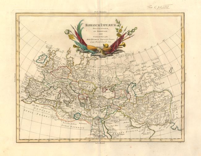
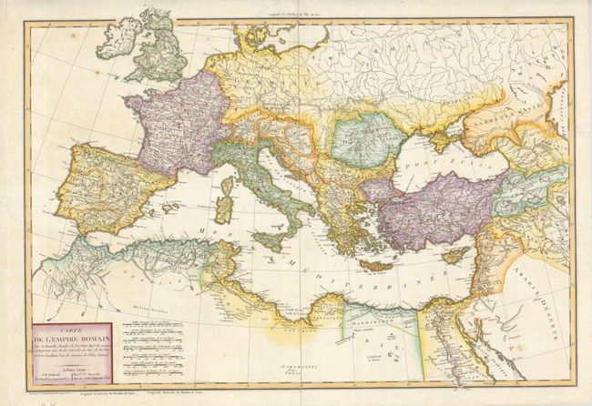
Subject: Mediterranean and Middle East, Roman Empire

Period: 1785-88 (dated)

Publication:

Color: Hand Color

Size:
16 x 12.3 inches
40.6 x 31.2 cm
Download High Resolution Image
(or just click on image to launch the Zoom viewer)

Two maps that show the extent of the Roman Empire throughout Europe, Northern Africa and the Middle East. Together they provide an interesting comparison, both in style and historical content.

1) Romanum Imperium Occidentale, et Orientale, engraved by G. Pitteri and published by Anonio Zatta, 1785 (16 x 12.3"). A tear in the right margin is closed on verso with archival tape. There are a couple minor spots and some bleed through of the color on the verso.
2) Carte de l'Empire Romain, engraved by Pierre Francois Tardieu and published by Edme Mentelle, circa 1788 (24.5 x 16.5") Original color with a few tiny spots, else very good.

References:

Condition: B+

See description.

Estimate: $200 - $250

Sold for: $150

Closed on 6/2/2010

Archived