Catalog Archive
Auction 132, Lot 552

"Les Estats du Duche de Milan", Fer, Nicolas de
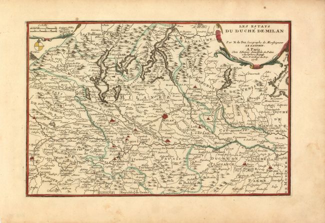
Subject: Italy

Period: 1705 (dated)

Publication: L'Atlas Curieux ou Le Monde…

Color: Hand Color

Size:
12.7 x 8.4 inches
32.3 x 21.3 cm
Download High Resolution Image
(or just click on image to launch the Zoom viewer)

This detailed map shows the vicinity of Milan, covering from Turin to Parma and including the alpine lakes. Among the many details on the map, are the canals. The Naviglio Canal was the first artificial canal in Europe, probably originating as a defensive ditch dug in the 12th century. It was one of the largest post-medieval engineering projects, allowing development of commerce, transport and agriculture in the region. The map was finely engraved by Herman van Loon.

References:

Condition: A

Minor spots in the blank margins, else fine.

Estimate: $140 - $180

Unsold

Closed on 6/2/2010

Archived