Catalog Archive
Auction 132, Lot 474

"Carte du Languedoc", La Feuille, Paul de
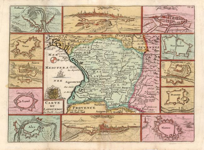
Subject: France

Period: 1720 (circa)

Publication: Geographisch-Toneel

Color: Hand Color

Size:
9.5 x 6.8 inches
24.1 x 17.3 cm
Download High Resolution Image
(or just click on image to launch the Zoom viewer)

Charming small map of this region in southern France oriented with north to the right. It is surrounded by 12 bird's-eye plans and views of the major cities and fortresses. At the top is a view of Montpellier and at bottom a view of Pont-Saint-Esprit.

References:

Condition: B+

There is some minor toning, else very good.

Estimate: $80 - $110

Sold for: $60

Closed on 6/2/2010

Archived