Catalog Archive
Auction 132, Lot 412

"Les Isles Britanniques qui contiennent les Royaumes d'Angleterre, Escosse, et Irlande distingues en leurs principales Provinces…", Jaillot/Elwe
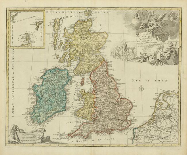
Subject: Britain

Period: 1792 (dated)

Publication: Atlas Geographique et Universel

Color: Hand Color

Size:
23.6 x 18.7 inches
59.9 x 47.5 cm
Download High Resolution Image
(or just click on image to launch the Zoom viewer)

Jan Elwe's edition of Jaillot's fine map of the British Isles was issued nearly 100 years after it first appears, affirming the quality of the map. The title cartouche is embellished with putti, Neptune, Mercury and other allegorical figures. A large inset details the Shetland, Faroe and Orkney Islands. This last state of the map is very scarce.

References: Shirley (BI) Jaillot 4.

Condition: A

Original color that is slightly faded.

Estimate: $550 - $650

Sold for: $450

Closed on 6/2/2010

Archived