Catalog Archive
Auction 132, Lot 398

"Carte Reduite des Mers du Nord…", Verdun de la Crenne

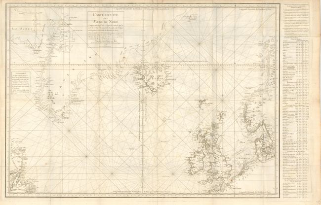
Subject: North Atlantic

Period: 1776 (dated)

Publication: Voyage Fait part Ordre du Roy…

Color: Black & White

Size:
31 x 22 inches
78.7 x 55.9 cm
Download High Resolution Image
(or just click on image to launch the Zoom viewer)

Sea chart of the northern Atlantic centered roughly on Iceland. It covers from Labrador, Newfoundland, and Baffin Island (Ile James) to Norway, and includes Greenland, Great Britain, Denmark, and part of the coast France, inland to Paris. It is a fine chart with fleur-de-lis and rhumb lines and a table of coordinates for major locations at right.

In the years 1771-1772 the French government sent a scientific expedition led by Verdun de la Crenne to the North Atlantic. Their commission was to explore the ocean, coasts, and islands and correct errors on existing charts and test various ways of measuring latitude and longitude. One of the most significant corrections they made was in the location of Iceland; based on their measurements they moved the country three and a half degrees eastwards.

References:

Condition: B+

The map is very good less a trace of toning on a fold and another fold with soft crease. Folded as issued with full margins on very thick paper.

Estimate: $325 - $400

Sold for: $240

Closed on 6/2/2010

Archived