Catalog Archive
Auction 132, Lot 351

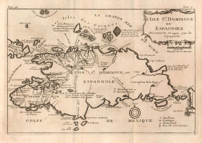
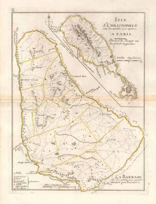
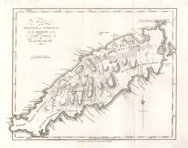
"[Lot of 3 - Hispaniola, St. Kitts & Barbados, Tobago]", Labat, J. B.

Subject: Caribbean Islands

Period: 1742 (published)

Publication: Nouveau Voyage aux Isles de l'Amerique

Color: Black & White

Size:
See Description
Download High Resolution Image
(or just click on image to launch the Zoom viewer)

1) L'Isle St. Domingue ou Espangnola…, J.B. Labat, 1742, Paris, 7.7" x 5". This nice small map of Hispaniola shows the division between the French and Spanish possession with more information on the French side. Jean-Baptiste Labat was a French Dominican missionary and engineer who spent several years in the West Indies at the turn of the 18th century. Folding as issued with some light offsetting or toning. (B+)

2) Isle St. Christophle une des antilles aux anglois. / La Barbade une des antilles aux anglois divisee par Paroisses, George Loius Le Rouge, 1748, Paris, 8" x 10.6". Two maps on one sheet. St. Kitts is in upper right, Barbados occupies most of the sheet in lower 2/3's. Both show good detail of topography and watershed, settlements and roads or trails, and with much coastal information including hazards to navigation. Toned along centerfold. (B+)

3) Map of the Island of Tobago for the History of the West Indies, Bryan Edwards, London, 1799, 9.3" x 7". This copper engraved chart of the island shows its political divisions and considerable coastal detail. Topography is well developed. Published by John Stockdale. Nice example. (A)

References:

Condition: A

Faintly toned with slight offsetting, overall very good.

Estimate: $100 - $140

Unsold

Closed on 6/2/2010

Archived