Catalog Archive
Auction 132, Lot 324

"California, Utah, Lr. California and New Mexico", Ettling, Theodor

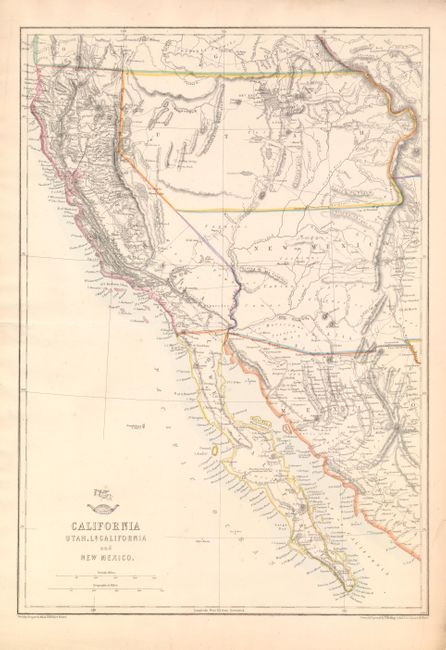
Subject: Southwestern United States & Mexico

Period: 1858 (published)

Publication: Weekly Dispatch Atlas

Color: Hand Color

Size:
12 x 17 inches
30.5 x 43.2 cm
Download High Resolution Image
(or just click on image to launch the Zoom viewer)

This British produced map of the Southwest was included in the January 31, 1858 Sunday Supplement to the Weekly Dispatch. The map extends above California's northern border to Cape Blanco and east to the continental divide and Rio Grande valley. The four named regions are California, Lower California, New Mexico and Utah. The large Utah Territory extends from California to the continental divide, occupying all of today's Nevada and much of Colorado. New Mexico Territory stretches from California to beyond the Rio Grande valley. Today's Arizona and parts of Nevada and Colorado are contained in New Mexico. The settled areas show good detail and place names. Numerous Indian tribes, forts, watersheds are located. Numerous unnamed wagon roads or trails are delineated, including Whipple, the Old Spanish Trail, and the railroad survey across New Mexico Territory. The map extends to include most of present-day Mexico. Early, and not entirely accurate, topography is shown through hachure. Wheat says, "This map is an excellent representation of the country."

References: Wheat (TMW) #942.

Condition: A

Very nice example that has a short closed tear and printers crease, both in margins not affecting image.

Estimate: $160 - $200

Sold for: $120

Closed on 6/2/2010

Archived