Catalog Archive
Auction 132, Lot 304

"Railroad and County Map of Utah", Cram, George F. & Company
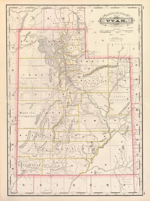
Subject: Utah

Period: 1885 (published)

Publication: Grant's Standard Indexed Atlas

Color: Printed Color

Size:
15.5 x 22 inches
39.4 x 55.9 cm
Download High Resolution Image
(or just click on image to launch the Zoom viewer)

This uncommon map of Utah originated by George Cram was published by A.A. Grant, with his imprint replacing that of Cram. One of the most informative late 19th century maps of the state, it shows counties, cities and towns, post offices, rivers, mountains, roads, completed surveys, and railroads, both completed and proposed. The railroad names and some Indian Reservations are overprinted in red and the county boundaries are shown in yellow.

References:

Condition: A+

Estimate: $80 - $120

Unsold

Closed on 6/2/2010

Archived